
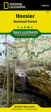
Hoosier National Forest, Map 770 by National Geographic Maps
Click to Zoom (high resolution)
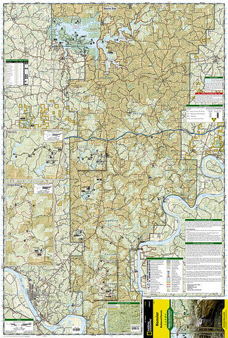
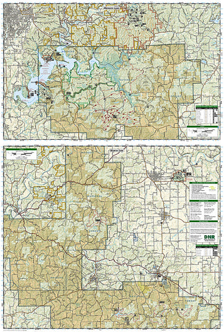
Waterproof, tear-resistant, topographic hiking map of Hoosier Natl Forest, Indiana. Coverage includes Patoka Lake State Reservoir, Harrison Crawford State Forest, Ohio River, Yellowbank State Wildlife Management Area, Brown County State Park, Martin State Forest, insets of Two Lakes and German Ridge. Towns include Tell City, Bloomington, Mitchell, Paoli, Orleans, French Lick. Includes UTM grids for use with your GPS unit.
- Product Number: 2034590M
- Product Code: TI_HOOSIER
- Publisher Product ID: TI00000770
- ISBN: 9781566954211
- Year of Publication: 2008
- Folded Size: 9.45 x 4.33 inches
- Unfolded Size: 37.01 x 24.8 inches
- Map type: Folded Map
- Geographical region: Indiana


