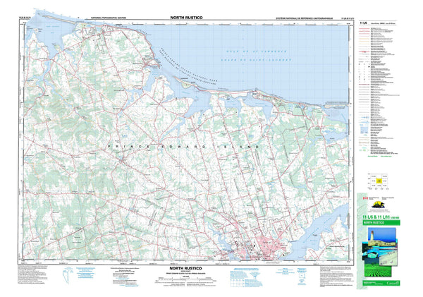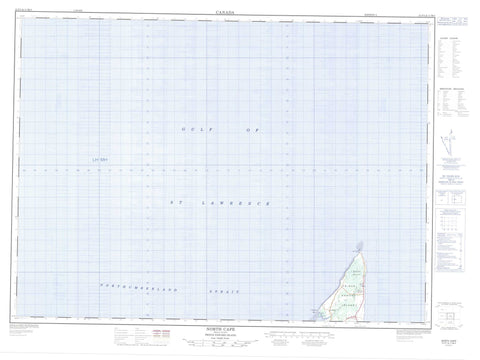
021P01 North Cape Canada topo map, 1:50,000 scale
021P01 North Cape NRCAN topographic map.
Includes UTM and GPS geographic coordinates (latitude and longitude). This 50k scale map is suitable for hiking, camping, and exploring, or you could frame it as a wall map.
Printed on-demand using high resolution, on heavy weight and acid free paper, or as an upgrade on a variety of synthetic materials.
Topos available on paper, Waterproof, Poly, or Tyvek. Usually shipping rolled, unless combined with other folded maps in one order.
- Product Number: NRCAN-021P01
- Parent Topo: TOPO-021P
- Map ID also known as: 021P01, 21P1, 21P01
- Unfolded Size: Approximately 26" high by 36" wide
- Weight (paper map): ca. 55 grams
- Map Type: POD NRCAN Topographic Map
- Map Scale: 1:50,000
- Geographical region: Prince Edward Island, Canada
Neighboring Maps:
All neighboring Canadian topo maps are available for sale online at 1:50,000 scale.
Purchase the smaller scale map covering this area: Topo-021P
Spatial coverage:
Topo map sheet 021P01 North Cape covers the following places:
- Golfe du Saint-Laurent - Gulf of St. Lawrence - Morrisseys Cove - Fee Shore - Phee Shore - Détroit de Northumberland - Northumberland Strait - Lot 1 - Prince - Prince Edward Island - Nail Pond - Île-du-Prince-Édouard - Prince Edward Island - Norway - Black Marsh - Nail Pond