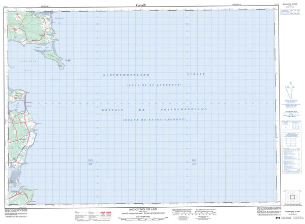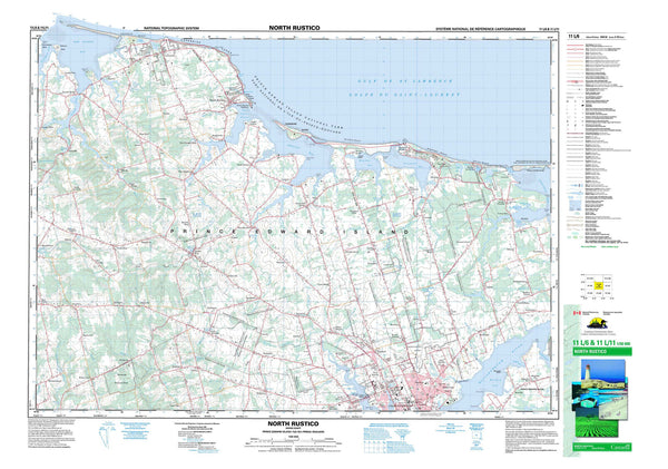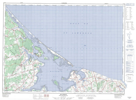
011L12 Malpeque Canada topo map, 1:50,000 scale
011L12 Malpeque NRCAN topographic map.
Includes UTM and GPS geographic coordinates (latitude and longitude). This 50k scale map is suitable for hiking, camping, and exploring, or you could frame it as a wall map.
Printed on-demand using high resolution, on heavy weight and acid free paper, or as an upgrade on a variety of synthetic materials.
Topos available on paper, Waterproof, Poly, or Tyvek. Usually shipping rolled, unless combined with other folded maps in one order.
- Product Number: NRCAN-011L12
- Parent Topo: TOPO-011L
- Map ID also known as: 011L12, 11L12
- Unfolded Size: Approximately 26" high by 36" wide
- Weight (paper map): ca. 55 grams
- Map Type: POD NRCAN Topographic Map
- Map Scale: 1:50,000
- Geographical region: Prince Edward Island, Canada
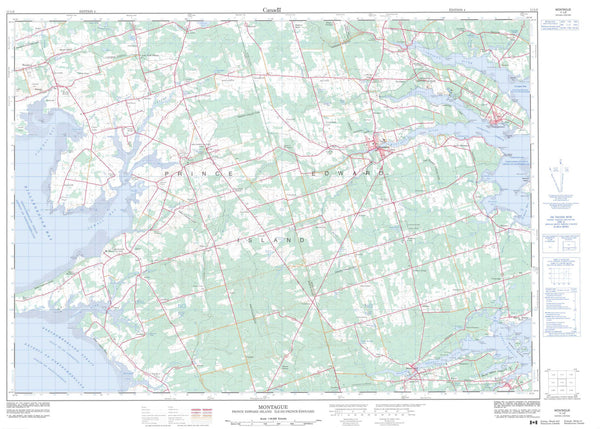
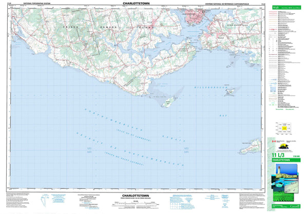
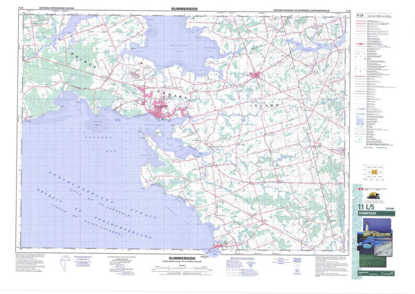
Neighboring Maps:
All neighboring Canadian topo maps are available for sale online at 1:50,000 scale.
Purchase the smaller scale map covering this area: Topo-011L
Spatial coverage:
Topo map sheet 011L12 Malpeque covers the following places:
- Browns Creek - Campbell Creek - Cavendish Inlet - Conway Cove - Conway Inlet - Darnley Basin - Ellis Cove - Frederick Cove - Glasses Cove - Golfe du Saint-Laurent - Gulf of St. Lawrence - Hog Island Basin - Malpeque Bay - Malpeque Harbour - March Water - Paughs Creek - Rapley Cove - Richmond Bay - Smelt Creek - The Creek - Thompsons Creek - Brooks Shore - Bunbury Sand - Josephine Shore - Keirs Shore - MacIntosh Shore - Thompsons Shore - Allanby Point - Bald Point - Black Point - Black Sows Point - Boyles Point - Brilliant Point - Burial Point - Callaghan Point - Cape Aylesbury - Cape Tryon - Chapel Point - Charles Point - Cranberry Point - Darnley Point - Darnley Spit - Dawsons Point - Dennis Point - Englands Point - Ghost Point - Gillis Point - Gull Point - MacKays Point - Marsh Point - Muddigger Point - Oyster Point - Point of the Narrows - Princetown Point - Profitts Point - Red Point - Rocky Point - Royalty Point - Saltgrass Point - Sharp Point - Sharps Point - Shipyard Point - Shipyard Point - Sickle Point - Spear Point - Winchester Cape - Yeos Point - Conway Narrows - Hardys Channel - Lennox Channel - Little Channel - Ship Channel - The Narrows - Lot 11 - Lot 12 - Lot 13 - Lot 14 - Lot 15 - Lot 18 - Lot 20 - Lot 21 - Prince - Princetown - Queens - Lennox Island 1 - Lennox Island 5 - Billhook Island - Bird Island - Bunbury Island - Conolly Island - Courtin Island - Courtin Island - Darnley Island - Fish Island - George Island - Grog Island - Grover Island - Hog Island - Lennox Island - Little Courtin Island - Prince Edward Island - Ram Island - Adams Pond - Banks Pond - Bernards Pond - Branders Pond - Campbell Pond - Campbells Pond - Campbells Pond - Carr Pond - Carrs Pond - Cousins Pond - Hansens Pond - Hunters Pond - MacLeans Pond - McIntyres Pond - McKay Pond - Morrisons Pond - Ramsays Pond - Rochford Pond - Taylors Pond - Thompsons Pond - Tyne Valley Pond - Brooks Wharf - Central Lot 16 Wharf - Milligans Wharf - Conway Sand Hills - Malpeque Sand Hills - Yankee Hill - Belmont Provincial Park - Cabot Provincial Park - Green Provincial Park - Île-du-Prince-Édouard - Prince Edward Island - Adams Creek - Baltic Creek - Baltic River - Bideford River - Birch Creek - Birch Creek - Brooks River - Burke Creek - Collingwoods Creek - Conway River - Crooked Creek - Cross Creek - Cross River - Eel Creek - Ellerslie Brook - Ellis River - Enmore River - Freeland Creek - French River - Gains Creek - Goodwood River - Grand River - Grants Brook - Griggs Creek - Hayes Brook - Hunters Creek - Little Trout River - MacArthurs Creek - MacGregors Creek - Mill Creek - Peter Creek - Ramsay Creek - Schooner Creek - Sheas Brook - Shipyard Creek - Shipyard River - Smelt Creek - Southwest Creek - Southwest River - Trout River - Williams Creek - Yeos Creek - Charles Shoal - Courtin Shoal - Horseshoe Shoals - Iron Rock - Jerrys Rock - Little Rock - Arlington - Baltic - Bayside - Bayview - Bideford - Birch Hill - Conway - Conway Station - Darnley - East Bideford - Ellerslie - Fanning - Freeland - French River - Grand River - Irishtown - Lennox Island - Lot 11 - Low Point - Lower Darnley - Lower Hamilton - Lower Malpeque - MacDougall - Malpeque - McNeill Mills - McNeills Mills - McNeill's Mills - Murray Road - Northam - Park Corner - Poplar Grove - Port Hill - Port Hill Station - Porthill - Porthill Station - Princetown - Richmond - Sea View - Spring Valley - Big Marsh - Little Marsh - Central Lot 16 - Ellerslie-Bideford - Lady Slipper - Lot 11 and Area - Malpeque Bay - Richmond - Tyne Valley