
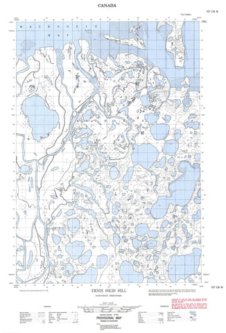
107C06W Denis High Hill Canada topo map, 1:50,000 scale
107C06W Denis High Hill NRCAN topographic map.
Includes UTM and GPS geographic coordinates (latitude and longitude). This 50k scale map is suitable for hiking, camping, and exploring, or you could frame it as a wall map.
Printed on-demand using high resolution, on heavy weight and acid free paper, or as an upgrade on a variety of synthetic materials.
Topos available on paper, Waterproof, Poly, or Tyvek. Usually shipping rolled, unless combined with other folded maps in one order.
- Halfsheet: This map was designed as a half sheet of NRCAN-107C06, and it is the Western half. Find the eastern half sheet here.
- Product Number: NRCAN-107C06W
- Parent Topo: TOPO-107C
- Map ID also known as: 107C06, 107C6
- Unfolded Size: Approximately 26" high by 36" wide
- Weight (paper map): ca. 55 grams
- Map Type: POD NRCAN Topographic Map
- Map Scale: 1:50,000
- Geographical region: Northwest Territories, Canada
Neighboring Maps:
All neighboring Canadian topo maps are available for sale online at 1:50,000 scale.
Purchase the smaller scale map covering this area: Topo-107C
Spatial coverage:
Topo map sheet 107C06W Denis High Hill covers the following places:
- Beluga Bay - Mackenzie Bay - Big Horn Point - Mackenzie Delta - West Point - East Channel - Harry Channel - Swan Channel - Niglintgak Island - Richards Island - Seal Island - Taglu Island - Crooked Lake - Denis Lagoon - Denis Lake - Grassy Lake - Mid Lake - Pullen Lake - Umiak Lake - Willow Lake - Denis High Hill - Denis Pingo - Trapp Hills - Refuge d'oiseaux de l'Île-Kendall - Cabin Creek - Fleuve Mackenzie - Mackenzie River - Yaya River - Beaufort Sea - Mer de Beaufort - Northwest Territories - Territoires du Nord-Ouest - Camp Farewell


