
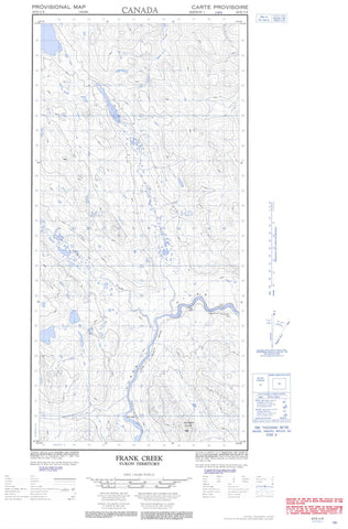
105E11E Frank Creek Canada topo map, 1:50,000 scale
105E11E Frank Creek NRCAN topographic map.
Includes UTM and GPS geographic coordinates (latitude and longitude). This 50k scale map is suitable for hiking, camping, and exploring, or you could frame it as a wall map.
Printed on-demand using high resolution, on heavy weight and acid free paper, or as an upgrade on a variety of synthetic materials.
Topos available on paper, Waterproof, Poly, or Tyvek. Usually shipping rolled, unless combined with other folded maps in one order.
- Halfsheet: This map was designed as a half sheet of NRCAN-105E11, and it is the Eastern half. Find the western half sheet here.
- Product Number: NRCAN-105E11E
- Parent Topo: TOPO-105E
- Map ID also known as: 105E11
- Unfolded Size: Approximately 26" high by 36" wide
- Weight (paper map): ca. 55 grams
- Map Type: POD NRCAN Topographic Map
- Map Scale: 1:50,000
- Geographical region: Yukon, Canada
Neighboring Maps:
All neighboring Canadian topo maps are available for sale online at 1:50,000 scale.
Purchase the smaller scale map covering this area: Topo-105E
Spatial coverage:
Topo map sheet 105E11E Frank Creek covers the following places:
- Cape Horn - Chain Lakes - Coghlan Lake - Frank Lake - Maunoir Butte - Yukon Plateau - Fleuve Yukon - Frank Creek - Lewes River - Yukon River - The Thirty Mile


