
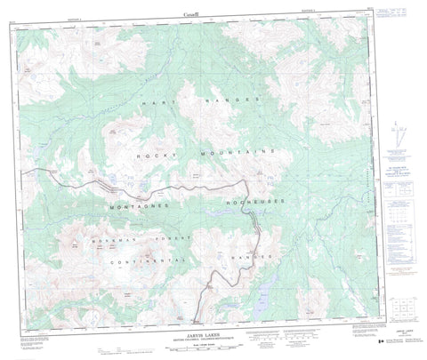
093I01 Jarvis Lakes Canada topo map, 1:50,000 scale
093I01 Jarvis Lakes NRCAN topographic map.
Includes UTM and GPS geographic coordinates (latitude and longitude). This 50k scale map is suitable for hiking, camping, and exploring, or you could frame it as a wall map.
Printed on-demand using high resolution, on heavy weight and acid free paper, or as an upgrade on a variety of synthetic materials.
Topos available on paper, Waterproof, Poly, or Tyvek. Usually shipping rolled, unless combined with other folded maps in one order.
- Product Number: NRCAN-093I01
- Parent Topo: TOPO-093I
- Map ID also known as: 093I01, 93I1, 93I01
- Unfolded Size: Approximately 26" high by 36" wide
- Weight (paper map): ca. 55 grams
- Map Type: POD NRCAN Topographic Map
- Map Scale: 1:50,000
- Geographical region: Alberta, Canada
Neighboring Maps:
All neighboring Canadian topo maps are available for sale online at 1:50,000 scale.
Purchase the smaller scale map covering this area: Topo-093I
Spatial coverage:
Topo map sheet 093I01 Jarvis Lakes covers the following places:
- Babette Lake - Barbara Lake - Dimsdale Lake - Fay Lake - Jarvis Lakes - Kakwa Lake - Moonias Lake - Awasis Mountain - Cheval Hill - Edgegrain Mountain - Etim Mountain - Hart Ranges - Kakwa Mountain - Koona Mountain - Manitou Mountain - Montagnes Rocheuses - Moonias Mountain - Mount Carr-Hilton - Mount Gorman - Mount Hanington - Mount Ian Monroe - Mount Ida - Mount Jarvis - Mount Minnes - Mount Ruth - Mount St. Andrew's - Mount St. David - Mount St. George - Mount St. Patrick - Netim Mountain - Ochakwin Mountain - Park Ranges - Rocky Mountains - Walrus Mountain - Watin Mountain - Peace River Regional District - Regional District of Fraser-Fort George - Kakwa Park - Kakwa Recreation Area - Barbara Creek - Belcourt Creek - Cecilia Creek - Dimsdale Creek - Edgegrain Creek - Gorman Creek - Hanington Creek - Jarvis Creek - Kakwa River - Kitchi Creek - Moonias Creek - Narraway River - Torrens River - Gray Pass - Hanington Pass - Jarvis Pass - Moonias Pass - Porcupine Flats


