
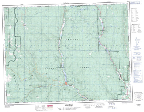
092H10 Tulameen Canada topo map, 1:50,000 scale
092H10 Tulameen NRCAN topographic map.
Includes UTM and GPS geographic coordinates (latitude and longitude). This 50k scale map is suitable for hiking, camping, and exploring, or you could frame it as a wall map.
Printed on-demand using high resolution, on heavy weight and acid free paper, or as an upgrade on a variety of synthetic materials.
Topos available on paper, Waterproof, Poly, or Tyvek. Usually shipping rolled, unless combined with other folded maps in one order.
- Product Number: NRCAN-092H10
- Parent Topo: TOPO-092H
- Map ID also known as: 092H10, 92H10
- Unfolded Size: Approximately 26" high by 36" wide
- Weight (paper map): ca. 55 grams
- Map Type: POD NRCAN Topographic Map
- Map Scale: 1:50,000
- Geographical region: British Columbia, Canada
Neighboring Maps:
All neighboring Canadian topo maps are available for sale online at 1:50,000 scale.
Purchase the smaller scale map covering this area: Topo-092H
Spatial coverage:
Topo map sheet 092H10 Tulameen covers the following places:
- Kamloops Division Yale Land District - Yale Division Yale Land District - One Mile Indian Reserve 6 - Réserve indienne One Mile 6 - Allison Lake - Andys Lake - Biely Lake - Borgeson Lake - Brook Lake - Burch Lake - Butler Lake - Coquihalla Lakes - Dry Lake - Frembd Lake - Gill Lake - Goose Lake - Gulliford Lake - Halfway Lake - Hall Lake - Harvey Hall Lake - Hornet Lake - Johnny Lake - Kump Lake - Laird Lake - Larkin Lakes - Little Thynne Lake - Lodwick Lake - MacKenzie Lake - McCaffrey Lake - McDiarmid Lake - Murphy Lakes - Mystery Lake - Otter Lake - Power Lake - Robertson Lake - Round Lake - Stedman Lake - Stony Lake - Stringer Lake - Taylor Lake - Thynne Lake - Tommy Lee Lake - Bedded Range - Boulder Mountain - Cascade Mountains - Grasshopper Mountain - Hamilton Hill - Hozameen Range - Missezula Mountain - Mount Britton - Mount Henning - Mount Jackson - Mount Pike - Mount Rabbitt - Mount Riddell - Mount Spearing - Mount Thynne - Olivine Mountain - Otter Mountain - Pike Mountain - Fraser Valley Regional District - Regional District of Fraser-Cheam - Allison Lake Park - Coquihalla Summit Recreation Area - Otter Lake Park - Thompson Plateau - Asp Creek - Belfort Creek - Biely Creek - Borgeson Creek - Britton Creek - Brook Creek - Champion Creek - Connaly Creek - Cook Creek - Elliot Creek - Frembd Creek - Granite Creek - Gulliford Creek - Hardwick Creek - Hines Creek - Holm Creek - Hoover Creek - Illal Creek - John Burns Creek - Ketcham Creek - Ketchan Creek - Knudson Creek - Lawless Creek - Lockie Creek - Lodestone Creek - Luke Creek - MacKenzie Creek - Manion Creek - Manning Creek - Mark Creek - Matthew Creek - McGee Creek - McPhail Creek - Myren Creek - Oelrich Creek - Olivine Creek - Otter Creek - Perley Creek - Pioneer Creek - Rabbitt Creek - Riddell Creek - Schubert Creek - Skwum Creek - Sootheran Creek - Summers Creek - Tanglewood Creek - Thynne Creek - Tulameen River - Allison Lake - Coalmont - Manning - Tulameen - Collins Gulch - Fraser Gulch


