
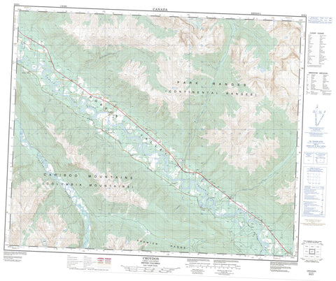
083E04 Croyden Canada topo map, 1:50,000 scale
083E04 Croyden NRCAN topographic map.
Includes UTM and GPS geographic coordinates (latitude and longitude). This 50k scale map is suitable for hiking, camping, and exploring, or you could frame it as a wall map.
Printed on-demand using high resolution, on heavy weight and acid free paper, or as an upgrade on a variety of synthetic materials.
Topos available on paper, Waterproof, Poly, or Tyvek. Usually shipping rolled, unless combined with other folded maps in one order.
- Product Number: NRCAN-083E04
- Parent Topo: TOPO-083E
- Map ID also known as: 083E04, 83E4, 83E04
- Unfolded Size: Approximately 26" high by 36" wide
- Weight (paper map): ca. 55 grams
- Map Type: POD NRCAN Topographic Map
- Map Scale: 1:50,000
- Geographical region: British Columbia, Canada
Neighboring Maps:
All neighboring Canadian topo maps are available for sale online at 1:50,000 scale.
Purchase the smaller scale map covering this area: Topo-083E
Spatial coverage:
Topo map sheet 083E04 Croyden covers the following places:
- Russellmeadow Lake - Shere Lake - Cariboo Mountains - Columbia Mountains - Montagnes Rocheuses - Park Ranges - Premier Range - Rocky Mountains - Cariboo Regional District - Regional District of Fraser-Fort George - Small River Caves Park - Baldwin Creek - Caribou Creek - Chadwick Creek - Collett Creek - Craig Brook - Diamond Willow Creek - Dulles Creek - Fleuve Fraser - Fraser River - Haile Creek - Hamilton Creek - Highland Creek - Hile Creek - Holliday Creek - Horsey Creek - Kiwa Creek - Nearguard Creek - Nevin Creek - Raush River - Rocky Creek - Russellmeadow Creek - Saranna Creek - Shere Creek - Small Creek - Spittal Creek - Tindill Creek - Titan Creek - Wardman Creek - Willow Creek - Croydon - Croydon Station - Dunster - Raush Valley - Shere - Robson Valley - Rocky Mountain Trench


