
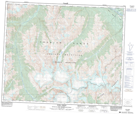
083D13 Kiwa Creek Canada topo map, 1:50,000 scale
083D13 Kiwa Creek NRCAN topographic map.
Includes UTM and GPS geographic coordinates (latitude and longitude). This 50k scale map is suitable for hiking, camping, and exploring, or you could frame it as a wall map.
Printed on-demand using high resolution, on heavy weight and acid free paper, or as an upgrade on a variety of synthetic materials.
Topos available on paper, Waterproof, Poly, or Tyvek. Usually shipping rolled, unless combined with other folded maps in one order.
- Product Number: NRCAN-083D13
- Parent Topo: TOPO-083D
- Map ID also known as: 083D13, 83D13
- Unfolded Size: Approximately 26" high by 36" wide
- Weight (paper map): ca. 55 grams
- Map Type: POD NRCAN Topographic Map
- Map Scale: 1:50,000
- Geographical region: British Columbia, Canada
Neighboring Maps:
All neighboring Canadian topo maps are available for sale online at 1:50,000 scale.
Purchase the smaller scale map covering this area: Topo-083D
Spatial coverage:
Topo map sheet 083D13 Kiwa Creek covers the following places:
- David Glacier - Gilmour Glacier - Kiwa Glacier - Laurier Glacier - McLennan Glacier - North Canoe Glacier - Tête Glacier - Cariboo Mountains - Columbia Mountains - Columbia System - Gunboat Mountain - Mica Mountain - Mount Arthur Meighen - Mount John Oliver - Mount Lester Pearson - Mount Louis St-Laurent - Mount Mackenzie King - Mount Richard Bennett - Mount Sir John Abbott - Mount Sir Mackenzie Bowell - Mount Sir Wilfrid Laurier - Mount Stanley Baldwin - Penny Mountain - Premier Range - Cariboo Regional District - Regional District of Fraser-Fort George - Black Martin Creek - Fleuve Fraser - Fraser River - Gilmour Creek - Kiwa Creek - McLennan River - Raush River - Shelter Creek - Spittal Creek - Tête Creek - Tête Jaune - David Pass - Robson Valley


