
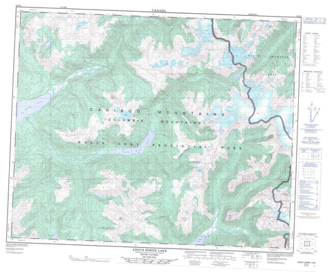
083D05 Angus Horne Lake Canada topo map, 1:50,000 scale
083D05 Angus Horne Lake NRCAN topographic map.
Includes UTM and GPS geographic coordinates (latitude and longitude). This 50k scale map is suitable for hiking, camping, and exploring, or you could frame it as a wall map.
Printed on-demand using high resolution, on heavy weight and acid free paper, or as an upgrade on a variety of synthetic materials.
Topos available on paper, Waterproof, Poly, or Tyvek. Usually shipping rolled, unless combined with other folded maps in one order.
- Product Number: NRCAN-083D05
- Parent Topo: TOPO-083D
- Map ID also known as: 083D05, 83D5, 83D05
- Unfolded Size: Approximately 26" high by 36" wide
- Weight (paper map): ca. 55 grams
- Map Type: POD NRCAN Topographic Map
- Map Scale: 1:50,000
- Geographical region: British Columbia, Canada
Neighboring Maps:
All neighboring Canadian topo maps are available for sale online at 1:50,000 scale.
Purchase the smaller scale map covering this area: Topo-083D
Spatial coverage:
Topo map sheet 083D05 Angus Horne Lake covers the following places:
- North Arm - Peekaboo Falls - Rainbow Falls - Angus Horne Lake - Azure Lake - McDougall Lake - Murtle Lake - Vimy Lakes - Cariboo Mountains - Columbia Mountains - Columbia System - Goat Peaks - Mount Hogue - Mount Mobley - Murtle Peak - Northview Peak - Vimy Ridge - Wells Gray Park - Anderson Creek - Angus Horne Creek - Azure River - Crowley Creek - Erethizon Creek - File Creek - Fleurbaix Creek - Knutson Creek - Lys Creek - Manteau Creek - Molen Creek - Murtle River - Ovis Creek - Peekaboo Creek - Stormking Creek - Thunder River - Vachon Creek


