
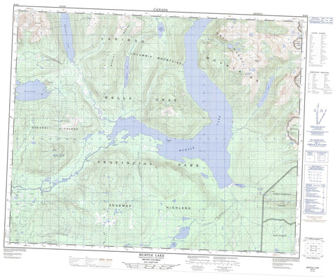
083D04 Murtle Lake Canada topo map, 1:50,000 scale
083D04 Murtle Lake NRCAN topographic map.
Includes UTM and GPS geographic coordinates (latitude and longitude). This 50k scale map is suitable for hiking, camping, and exploring, or you could frame it as a wall map.
Printed on-demand using high resolution, on heavy weight and acid free paper, or as an upgrade on a variety of synthetic materials.
Topos available on paper, Waterproof, Poly, or Tyvek. Usually shipping rolled, unless combined with other folded maps in one order.
- Product Number: NRCAN-083D04
- Parent Topo: TOPO-083D
- Map ID also known as: 083D04, 83D4, 83D04
- Unfolded Size: Approximately 26" high by 36" wide
- Weight (paper map): ca. 55 grams
- Map Type: POD NRCAN Topographic Map
- Map Scale: 1:50,000
- Geographical region: British Columbia, Canada
Neighboring Maps:
All neighboring Canadian topo maps are available for sale online at 1:50,000 scale.
Purchase the smaller scale map covering this area: Topo-083D
Spatial coverage:
Topo map sheet 083D04 Murtle Lake covers the following places:
- North Arm - West Arm - McDougall Falls - Meadow Falls - Fairyslipper Island - Leo Island - Anderson Lake - Blue Lake - Diamond Lagoon - Helset Lakes - Kostal Lake - Little Anderson Lake - McDougall Lake - Murtle Lagoon - Murtle Lake - Phyllis Lake - Stevens Lakes - Strait Lake - Twin Lakes - Cariboo Mountains - Central Mountain - Columbia Mountains - Columbia System - Goat Peaks - Kilpill Mountain - Kostal Cone - Mobley Ridge - Pillpill Mountain - Quesnel Highland - Shuswap Highland - Wave Crest Peak - Wavy Range - Wells Gray Park - Interior Plateau - Anderson Creek - Arthur Creek - Blue River - File Creek - Hemp Creek - Munter Creek - Murtle River - Snookwa Creek - Strait Creek - Vachon Creek - Stillwater - Munter Basin


