
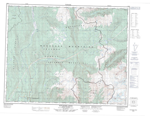
082M07 Ratchford Creek Canada topo map, 1:50,000 scale
082M07 Ratchford Creek NRCAN topographic map.
Includes UTM and GPS geographic coordinates (latitude and longitude). This 50k scale map is suitable for hiking, camping, and exploring, or you could frame it as a wall map.
Printed on-demand using high resolution, on heavy weight and acid free paper, or as an upgrade on a variety of synthetic materials.
Topos available on paper, Waterproof, Poly, or Tyvek. Usually shipping rolled, unless combined with other folded maps in one order.
- Product Number: NRCAN-082M07
- Parent Topo: TOPO-082M
- Map ID also known as: 082M07, 82M7, 82M07
- Unfolded Size: Approximately 26" high by 36" wide
- Weight (paper map): ca. 55 grams
- Map Type: POD NRCAN Topographic Map
- Map Scale: 1:50,000
- Geographical region: British Columbia, Canada
Neighboring Maps:
All neighboring Canadian topo maps are available for sale online at 1:50,000 scale.
Purchase the smaller scale map covering this area: Topo-082M
Spatial coverage:
Topo map sheet 082M07 Ratchford Creek covers the following places:
- Bourne Glacier - Park Glacier - Parmater Lake - Pettipiece Lake - Pyrite Lake - Watam Lake - Anstey Range - Cat Peak - Columbia Mountains - Feline Peak - Grace Mountain - Jordan Range - Long Ridge - Monashee Mountains - Mount Grace - Ratchford Range - Schrund Peak - Seymour Range - Shuswap Highland - Columbia-Shuswap Regional District - Anstey River - Blais Creek - Bourne Creek - Cotton Creek - Fissure Creek - Fortynine Creek - McNomee Creek - Mosquito Creek - Myoff Creek - Park Creek - Perry River - Pettipiece Creek - Ratchford Creek - Seymour Creek - Seymour River - Smoky House Creek - The Fortynine Creek - Crevasse Col - Pettipiece Pass


