
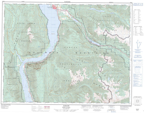
082K04 Nakusp Canada topo map, 1:50,000 scale
082K04 Nakusp NRCAN topographic map.
Includes UTM and GPS geographic coordinates (latitude and longitude). This 50k scale map is suitable for hiking, camping, and exploring, or you could frame it as a wall map.
Printed on-demand using high resolution, on heavy weight and acid free paper, or as an upgrade on a variety of synthetic materials.
Topos available on paper, Waterproof, Poly, or Tyvek. Usually shipping rolled, unless combined with other folded maps in one order.
- Product Number: NRCAN-082K04
- Parent Topo: TOPO-082K
- Map ID also known as: 082K04, 82K4, 82K04
- Unfolded Size: Approximately 26" high by 36" wide
- Weight (paper map): ca. 55 grams
- Map Type: POD NRCAN Topographic Map
- Map Scale: 1:50,000
- Geographical region: British Columbia, Canada
Neighboring Maps:
All neighboring Canadian topo maps are available for sale online at 1:50,000 scale.
Purchase the smaller scale map covering this area: Topo-082K
Spatial coverage:
Topo map sheet 082K04 Nakusp covers the following places:
- Saddle Bay - Smith Point - The Narrows - Dispatch Islands - Sand Island - Swan Island - Box Lake - Horseshoe Lake - Little Wilson Lake - Lower Arrow Lake - Shannon Lake - Summit Lake - Twin Lakes - Upper Arrow Lake - Wilson Lake - Wragge Lake - Mackinson - Allshouse Peak - Big Sister Mountain - Blue Grouse Mountain - Box Mountain - Columbia Mountains - Goat Range - Gold Range - Monashee Mountains - Mount Ferrie - Mount Ingersoll - Mount Vingolf - Nakusp Range - Ruby Mountains - Ruby Range - Rugged Peak - Saddle Mountain - Scalping Knife Mountain - Selkirk Mountains - Silver Mountain - Slocan Ranges - Summit Peak - Upper Saddle Mountain - Valhalla Mountains - Valhalla Range - Valhalla Ranges - Regional District of Central Kootenay - McDonald Creek Park - Nakusp Recreation Park - Summit Lake Park - Valhalla Park - Ackerman Creek - Adams Creek - Alwen Creek - Arrow Park (Mosquito) Creek - Arrowpark Creek - Baerg Creek - Bergman Creek - Bergman Garnet Creek - Big Gulch Creek - Blue Grouse Creek - Bonanza Creek - Bremner Creek - Brouse Creek - Brown Creek - Cadden Creek - Caribou Creek - Columbia River - Dixon Creek - Dog Creek - Evans Creek - Fairhurst Creek - Fifteen Creek - Fillier Creek - Fisher Creek - Fitzstubbs Creek - Fleuve Columbia - Graham Creek - Gustafson Creek - Halifax Creek - Hamlin Creek - Hamling Creek - Harlow Creek - Huss Creek - Independence Creek - Juanita Creek - Keffer Creek - Kuskanax Creek - Londonderry Creek - Mauchline Creek - McDonald Creek - Miller Creek - Mineral Creek - Mosquito Creek - Nakusp Creek - Owl Creek - Reinecker Creek - Rodd Creek - Shannon Creek - Slewiskin (McDonald) Creek - Slewiskin Creek - Snowslide Creek - Stevens Creek - Stoba Creek - Stobo Creek - Sweeting Creek - Turnbull Creek - Tyee Creek - Vipond Creek - Walton Creek - Wee Sandy Creek - Wensley Creek - Windy Creek - Wragge Creek - Arrow Park - Box Lake - Brouse - Carrolls Landing - Carrolls Landing - East Arrow Park - Glendevon - Graham Landing - Makinson - Summit Lake - West Demars - Low Pass - Mountain Meadow - Nakusp


