
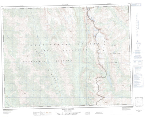
082J06 Mount Abruzzi Canada topo map, 1:50,000 scale
082J06 Mount Abruzzi NRCAN topographic map.
Includes UTM and GPS geographic coordinates (latitude and longitude). This 50k scale map is suitable for hiking, camping, and exploring, or you could frame it as a wall map.
Printed on-demand using high resolution, on heavy weight and acid free paper, or as an upgrade on a variety of synthetic materials.
Topos available on paper, Waterproof, Poly, or Tyvek. Usually shipping rolled, unless combined with other folded maps in one order.
- Product Number: NRCAN-082J06
- Parent Topo: TOPO-082J
- Map ID also known as: 082J06, 82J6, 82J06
- Unfolded Size: Approximately 26" high by 36" wide
- Weight (paper map): ca. 55 grams
- Map Type: POD NRCAN Topographic Map
- Map Scale: 1:50,000
- Geographical region: British Columbia, Canada
Neighboring Maps:
All neighboring Canadian topo maps are available for sale online at 1:50,000 scale.
Purchase the smaller scale map covering this area: Topo-082J
Spatial coverage:
Topo map sheet 082J06 Mount Abruzzi covers the following places:
- Abruzzi Glacier - Abruzzi Lake - Cadorna Lake - Connor Lakes - Wolverine Lake - Franklin Peaks - Kootenay Ranges - Montagnes Rocheuses - Mount Abruzzi - Mount Cadorna - Mount Connor - Mount Dorman - Mount Forsyth - Mount Hornickel - Mount Ingram - Mount Lancaster - Mount Macdonell - Mount Marconi - Mount Minton - Mount Swiderski - O'Neil Peak - Park Ranges - Riverside Mountain - Rocky Mountains - Russell Peak - Elk Lakes Park - Elk Lakes Recreation Area - Abruzzi Creek - Akanko Creek - Akinkoom Creek - Akookuk Creek - Akunam Creek - Bleasdell Creek - Cadorna Creek - Colin Creek - Cultus Creek - Elk Creek - Fenwick Creek - Forsyth Creek - Itoo Creek - Ittoo Creek - Jack Creek - Kametlin Creek - Kape Creek - Klaas Creek - Klookuh Creek - Kotsats Creek - Maiyuk Creek - Nilksuka Creek - Nipakoo Creek - North White River - Quarrie Creek - Schofield Creek - Seeta Creek - Sinna Creek - White River - Yamo Creek


