
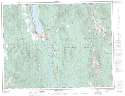
082J04 Canal Flats Canada topo map, 1:50,000 scale
082J04 Canal Flats NRCAN topographic map.
Includes UTM and GPS geographic coordinates (latitude and longitude). This 50k scale map is suitable for hiking, camping, and exploring, or you could frame it as a wall map.
Printed on-demand using high resolution, on heavy weight and acid free paper, or as an upgrade on a variety of synthetic materials.
Topos available on paper, Waterproof, Poly, or Tyvek. Usually shipping rolled, unless combined with other folded maps in one order.
- Product Number: NRCAN-082J04
- Parent Topo: TOPO-082J
- Map ID also known as: 082J04, 82J4, 82J04
- Unfolded Size: Approximately 26" high by 36" wide
- Weight (paper map): ca. 55 grams
- Map Type: POD NRCAN Topographic Map
- Map Scale: 1:50,000
- Geographical region: British Columbia, Canada
Neighboring Maps:
All neighboring Canadian topo maps are available for sale online at 1:50,000 scale.
Purchase the smaller scale map covering this area: Topo-082J
Spatial coverage:
Topo map sheet 082J04 Canal Flats covers the following places:
- Alces Lake - Columbia Lake - Copper Lake - Larsen Lake - Moose Lake - Ptarmigan Lake - Sun Lake - Whiteswan Lake - Columbia Mountains - Edwards Peak - Hughes Range - Kootenay Ranges - McLean Peak - Montagnes Rocheuses - Mount De Smet - Mount Glen - Mount Glenn - Mount Grainger - Mount Sabine - Purcell Mountains - Rocky Mountains - Shark Tooth Mountain - Sharp Tooth Mountain - White Knight Peak - Regional District of East Kootenay - Canal Flats Park - Thunder Hill Park - Thunderhill Park - Allen Creek - Cave Creek - Copper Creek - Coyote Creek - Deer Creek - Emily Creek - Fawn Creek - Findlay Creek - Hardie Creek - Kootenay River - Lavington Creek - Lussier River - Marion Creek - Marmalade Creek - Moscow Creek - Mud Creek - Mutton Creek - Nine Mile Creek - Ram Creek - Roam Creek - Sandown Creek - Spencer Creek - Sun Creek - Whitetail Brook - Lussier Hot Springs - Ram Creek Hot Springs - Columbia Lake - Copper Creek - Rocky Mountain Trench - Canal Flats


