
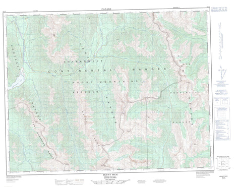
082J03 Mount Peck Canada topo map, 1:50,000 scale
082J03 Mount Peck NRCAN topographic map.
Includes UTM and GPS geographic coordinates (latitude and longitude). This 50k scale map is suitable for hiking, camping, and exploring, or you could frame it as a wall map.
Printed on-demand using high resolution, on heavy weight and acid free paper, or as an upgrade on a variety of synthetic materials.
Topos available on paper, Waterproof, Poly, or Tyvek. Usually shipping rolled, unless combined with other folded maps in one order.
- Product Number: NRCAN-082J03
- Parent Topo: TOPO-082J
- Map ID also known as: 082J03, 82J3, 82J03
- Unfolded Size: Approximately 26" high by 36" wide
- Weight (paper map): ca. 55 grams
- Map Type: POD NRCAN Topographic Map
- Map Scale: 1:50,000
- Geographical region: British Columbia, Canada
Neighboring Maps:
All neighboring Canadian topo maps are available for sale online at 1:50,000 scale.
Purchase the smaller scale map covering this area: Topo-082J
Spatial coverage:
Topo map sheet 082J03 Mount Peck covers the following places:
- Munroe Lake - Whiteswan Lake - Flett Peak - Kootenay Ranges - Melvin Peak - Montagnes Rocheuses - Mount Bingay - Mount Folk - Mount Hadiken - Mount Harrison - Mount Mike - Mount Nicholas - Mount Peck - Park Ranges - Profile Mountain - Quinn Range - Rocky Mountains - Smith Peak - Three Ram Mountain - Van Nostrand Range - Regional District of East Kootenay - Whiteswan Lake Park - Aka Creek - Akimukoo Creek - Akutlak Creek - Barr Creek - Bingay Creek - Blackfoot Creek - Boivin Creek - Britt Creek - Bull River - Cave Creek - Coyote Creek - Crossing Creek - East White River - Elk Creek - Grave Creek - Hornickel Creek - Inlet Creek - Kikitl Creek - Klookuh Creek - Kokin Creek - Koos Creek - Lowe Creek - Lynx Creek - Mary Creek - Moscow Creek - Nippin Creek - Nitta Creek - North White River - Poopoo Creek - Rock Canyon Creek - Rock Creek - Stenson Creek - Stork Creek - Thunder Creek - Towoo Creek - White River - Yaket Creek - Yamo Creek - Yuka Creek


