
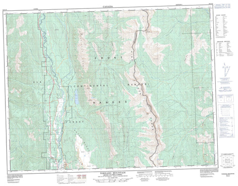
082G15 Tornado Mountain Canada topo map, 1:50,000 scale
082G15 Tornado Mountain NRCAN topographic map.
Includes UTM and GPS geographic coordinates (latitude and longitude). This 50k scale map is suitable for hiking, camping, and exploring, or you could frame it as a wall map.
Printed on-demand using high resolution, on heavy weight and acid free paper, or as an upgrade on a variety of synthetic materials.
Topos available on paper, Waterproof, Poly, or Tyvek. Usually shipping rolled, unless combined with other folded maps in one order.
- Product Number: NRCAN-082G15
- Parent Topo: TOPO-082G
- Map ID also known as: 082G15, 82G15
- Unfolded Size: Approximately 26" high by 36" wide
- Weight (paper map): ca. 55 grams
- Map Type: POD NRCAN Topographic Map
- Map Scale: 1:50,000
- Geographical region: Alberta, Canada
Neighboring Maps:
All neighboring Canadian topo maps are available for sale online at 1:50,000 scale.
Purchase the smaller scale map covering this area: Topo-082G
Spatial coverage:
Topo map sheet 082G15 Tornado Mountain covers the following places:
- Elkford - Sparwood - Grave Lake - Harriet Lake - Window Mountain Lake - Baldy Mountain - Erickson Ridge - Fording Mountain - Gould Dome - Grassy Ridge - Harmer Ridge - High Rock Range - High Rock Range - Horseshoe Ridge - Jenkinson Peak - Montagnes Rocheuses - Montagnes Rocheuses - Mount Domke - Mount Erris - Mount Erris - Mount Lyne - Mount Salter - Mount Secord - Mount Secord - Mount Ward - Natal Ridge - Rocky Mountains - Rocky Mountains - Sheep Mountain - Tornado Mountain - Tornado Mountain - Wisukitsak Range - Municipal District of Ranchland No. 66 - Regional District of East Kootenay - Improvement District of Ranchland No. 6 - Alexander Creek - Bodie Creek - Brûlé Creek - Cummings Creek - Dalzell Creek - Dutch Creek - Elk River - Erickson Creek - Fording River - Grace Creek - Grave Creek - Harmer Creek - Hollow Creek - Line Creek - Littlemoor Creek - Mansfield Creek - Nordstrum Creek - North Littlemoor Creek - North Racehorse Creek - Oké Creek - Oldman River - Racehorse Creek - Racehorse Creek - Rhodes Creek - Ross Creek - South Hidden Creek - South Line Creek - South Racehorse Creek - Telford Creek - Tornado Creek - Vicary Creek - Weigert Creek - West Alexander Creek - West Line Creek - Whiting Creek - Will Weaver Creek - Wintering Creek - Elk Prairie - Harmer - Line Creek - North Fork Pass - North Fork Pass - Racehorse Pass - Racehorse Pass - Tornado Pass - Tornado Pass


