
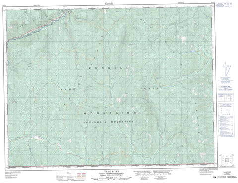
082G04 Yahk River Canada topo map, 1:50,000 scale
082G04 Yahk River NRCAN topographic map.
Includes UTM and GPS geographic coordinates (latitude and longitude). This 50k scale map is suitable for hiking, camping, and exploring, or you could frame it as a wall map.
Printed on-demand using high resolution, on heavy weight and acid free paper, or as an upgrade on a variety of synthetic materials.
Topos available on paper, Waterproof, Poly, or Tyvek. Usually shipping rolled, unless combined with other folded maps in one order.
- Product Number: NRCAN-082G04
- Parent Topo: TOPO-082G
- Map ID also known as: 082G04, 82G4, 82G04
- Unfolded Size: Approximately 26" high by 36" wide
- Weight (paper map): ca. 55 grams
- Map Type: POD NRCAN Topographic Map
- Map Scale: 1:50,000
- Geographical region: British Columbia, Canada
Neighboring Maps:
All neighboring Canadian topo maps are available for sale online at 1:50,000 scale.
Purchase the smaller scale map covering this area: Topo-082G
Spatial coverage:
Topo map sheet 082G04 Yahk River covers the following places:
- Cherry Lake - Meadow Lake - Ranger Lake - Columbia Mountains - Lodge Mountain - McGillivray Range - Mount Mahon - Mount Olson - Moyie Range - Purcell Mountains - Yahk Mountain - Yahk Range - Regional District of East Kootenay - Gilnockie Park - America Creek - Blacktail Creek - Boyd Creek - Brotten Creek - Caven Creek - Cold Creek - Freeman Creek - Gilnockie Creek - Haller Creek - Hart Creek - Hawkins Creek - Malpass Creek - Manson Creek - Moyie River - Norge Creek - Oke Creek - Oké Creek - Screw Creek - South Hawkins Creek - Sprucetree Creek - Stone Creek - Sundown Creek - Sunrise Creek - Tepee Creek - Ward Creek - West Yahk River - Yahk River - Tochty


