
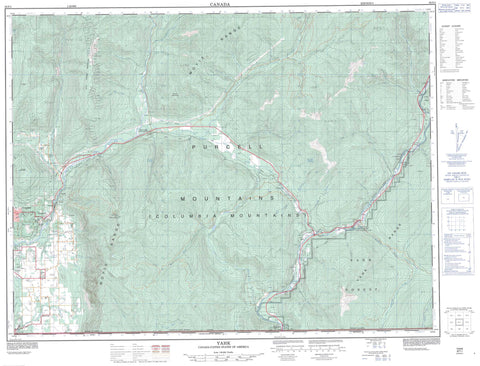
082F01 Yahk Canada topo map, 1:50,000 scale
082F01 Yahk NRCAN topographic map.
Includes UTM and GPS geographic coordinates (latitude and longitude). This 50k scale map is suitable for hiking, camping, and exploring, or you could frame it as a wall map.
Printed on-demand using high resolution, on heavy weight and acid free paper, or as an upgrade on a variety of synthetic materials.
Topos available on paper, Waterproof, Poly, or Tyvek. Usually shipping rolled, unless combined with other folded maps in one order.
- Product Number: NRCAN-082F01
- Parent Topo: TOPO-082F
- Map ID also known as: 082F01, 82F1, 82F01
- Unfolded Size: Approximately 26" high by 36" wide
- Weight (paper map): ca. 55 grams
- Map Type: POD NRCAN Topographic Map
- Map Scale: 1:50,000
- Geographical region: British Columbia, Canada
Neighboring Maps:
All neighboring Canadian topo maps are available for sale online at 1:50,000 scale.
Purchase the smaller scale map covering this area: Topo-082F
Spatial coverage:
Topo map sheet 082F01 Yahk covers the following places:
- McKim Cliff - Rykerts Lake - Arrow Mountain - Columbia Mountains - Hailstorm Ridge - Iron Range Mountain - Mount Kitchener - Mount Thompson - Moyie Range - Purcell Mountains - Sommerfeld Ridge - Yahk Range - Regional District of East Kootenay - Ryan Park - Yahk Park - Allin Creek - America Creek - Anchor Creek - Arrow Creek - Big Bear Brook - Birch Creek - Camp Run Creek - Canuck Creek - Carroll Creek - Christopher Creek - Colleen Creek - Crackerjack Creek - Deadhorse Creek - Dodd Creek - Dodds Creek - Dunsford Creek - East Mission Creek - Elmer Creek - Elmira Creek - Englishman Creek - Floyd Creek - Found Creek - Goat River - Grady Creek - Hawkins Creek - Hazel Creek - Huscroft Creek - Irishman Creek - Jensen Creek - Kapupa Creek - Keina Creek - Kid Creek - King Creek - Kitchener Creek - Kristina Creek - Lamb Creek - Leadville Creek - Lister Creek - Little Moyie River - Lost Creek - Manson Creek - McCoy Creek - Mission Creek - Moyie River - Nunika Creek - Okell Creek - Orde Creek - Peterson Creek - Rainy Creek - Rodgers Creek - Russell Creek - Rykert Creek - Six Mile Creek - Spider Creek - Sullivan Creek - Tally Creek - Thompson Creek - Whiskey Creek - Creston - Arrow Creek - Bedlington - Camp Lister - Canyon - Canyon Station - Curzon - Erickson - Glenlily - Goatfell - Huscroft - Kinert - Kingsgate - Kitchener - Lipsett - Lister - McConnel - Ryan - Rykerts - Yahk


