
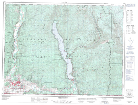
082E01 Grand Forks Canada topo map, 1:50,000 scale
082E01 Grand Forks NRCAN topographic map.
Includes UTM and GPS geographic coordinates (latitude and longitude). This 50k scale map is suitable for hiking, camping, and exploring, or you could frame it as a wall map.
Printed on-demand using high resolution, on heavy weight and acid free paper, or as an upgrade on a variety of synthetic materials.
Topos available on paper, Waterproof, Poly, or Tyvek. Usually shipping rolled, unless combined with other folded maps in one order.
- Product Number: NRCAN-082E01
- Parent Topo: TOPO-082E
- Map ID also known as: 082E01, 82E1, 82E01
- Unfolded Size: Approximately 26" high by 36" wide
- Weight (paper map): ca. 55 grams
- Map Type: POD NRCAN Topographic Map
- Map Scale: 1:50,000
- Geographical region: British Columbia, Canada
Neighboring Maps:
All neighboring Canadian topo maps are available for sale online at 1:50,000 scale.
Purchase the smaller scale map covering this area: Topo-082E
Spatial coverage:
Topo map sheet 082E01 Grand Forks covers the following places:
- English Cove - Bald Point - Deer Point - English Point - Knob Point - Lavalley Point - Lighthouse Point - Texas Point - Grand Forks - Cascade Falls - Christina Lake - Ward Lake - Wards Lake - Xenia Lake - Baker Ridge - Castle Mountain - Christina Range - Columbia Mountains - Goat Mountain - Midway Range - Monashee Mountains - Mount Gladstone - Mount Morrissey - Mount St. Thomas - Observation Mountain - Rossland Range - Thimble Mountain - Regional District of Central Kootenay - Regional District of Kootenay-Boundary - Christina Lake Park - Ole Johnson Park - Texas Creek Park - Alder Creek - American Fork - Angelo Creek - Baker Creek - Benninger Creek - Big Sheep Creek - Bitter Creek - Bonanza Creek - Bowser Creek - Broken Creek - Brooks Creek - Brown Creek - Cameron Creek - Chandler Creek - Christina Creek - Colbran Creek - Copper Creek - Coryell Creek - Dan O'Rea Creek - Day Creek - Effie Creek - Fisherman Creek - Frae Creek - Gill Creek - Gilpin Creek - Glover Creek - Granby River - Hagglund Creek - Hardy Creek - Hooper Creek - Hornet Creek - Hull Creek - Hunters Creek - Iron Creek - Italy Creek - Josh Creek - Kettle River - Lighthouse Creek - Lime Creek - Linburg Creek - Lynch Creek - Maida Creek - Manly Creek - Mastodon Creek - McCarthy Creek - McRae Creek - Miller Creek - Mitchener Creek - Mollie Creek - Moody Creek - Moran Creek - Moret Creek - Morrissey Creek - Neff Creek - O'Farrell Creek - Orian Creek - Overton Creek - Parson Creek - Pass Creek - Pathfinder Creek - Rathmullen Creek - Red Ochre Creek - Renwick Creek - Rock Candy Creek - Ruckle Creek - Sand Creek - Sandner Creek - Santa Rosa Creek - Seal Creek - Seggie Creek - Snowball Creek - Spaulding Creek - Spooner Creek - Stewart Creek - Summs Creek - Sutherland Creek - Swehaw Creek - Texas Creek - Thomas Creek - Toronto Creek - Trapper Creek - Treadmill Creek - Troy Creek - Volcanic Creek - Walker Creek - Xenia Creek - Almond Gardens - Billings - Carson - Cascade - Christina - Christina Lake - Coryell - Cuprum - Fife - Fisherman - Gilpin - Lafferty - Niagara - Nursery - Paulson - Rideau - West Grand Forks - Bonanza Pass


