
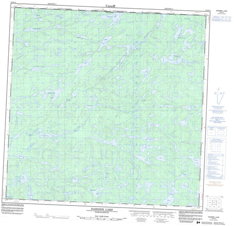
074O13 Dardier Lake Canada topo map, 1:50,000 scale
074O13 Dardier Lake NRCAN topographic map.
Includes UTM and GPS geographic coordinates (latitude and longitude). This 50k scale map is suitable for hiking, camping, and exploring, or you could frame it as a wall map.
Printed on-demand using high resolution, on heavy weight and acid free paper, or as an upgrade on a variety of synthetic materials.
Topos available on paper, Waterproof, Poly, or Tyvek. Usually shipping rolled, unless combined with other folded maps in one order.
- Product Number: NRCAN-074O13
- Parent Topo: TOPO-074O
- Map ID also known as: 074O13, 74O13
- Unfolded Size: Approximately 26" high by 36" wide
- Weight (paper map): ca. 55 grams
- Map Type: POD NRCAN Topographic Map
- Map Scale: 1:50,000
- Geographical region: Saskatchewan, Canada
Neighboring Maps:
All neighboring Canadian topo maps are available for sale online at 1:50,000 scale.
Purchase the smaller scale map covering this area: Topo-074O
Spatial coverage:
Topo map sheet 074O13 Dardier Lake covers the following places:
- Schmidt Bay - Bremner Lake - BuchananLake - Chapman Lake - Collins Lake - Dardier Lake - Hoidas Lake - Jackson Lake - Linwood Lake - Linwood Lake - Matheson Lake - McConechy Lake - McGill Lake - Mieyette Lake - Mitchet Lakes - Mucha Lake - Nisikkatch Lake - Norwest Lake - Norwest Lake - Oshowy Lake - Reist Lake - Rousell Lake - Sanday Lake - Stretching Lakes - Thomas Lake - Westray Lakes - Whitehead Lake - Richardson Rapids - Hill River - Ramsdell Creek - Ramsdell Creek - Sanderson River - Tazin River - Tazin River


