
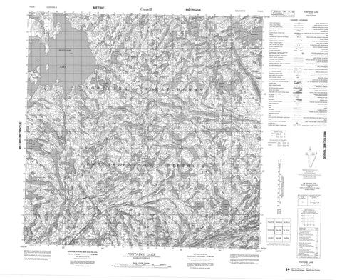
074O09 Fontaine Lake Canada topo map, 1:50,000 scale
074O09 Fontaine Lake NRCAN topographic map.
Includes UTM and GPS geographic coordinates (latitude and longitude). This 50k scale map is suitable for hiking, camping, and exploring, or you could frame it as a wall map.
Printed on-demand using high resolution, on heavy weight and acid free paper, or as an upgrade on a variety of synthetic materials.
Topos available on paper, Waterproof, Poly, or Tyvek. Usually shipping rolled, unless combined with other folded maps in one order.
- Product Number: NRCAN-074O09
- Parent Topo: TOPO-074O
- Map ID also known as: 074O09, 74O9, 74O09
- Unfolded Size: Approximately 26" high by 36" wide
- Weight (paper map): ca. 55 grams
- Map Type: POD NRCAN Topographic Map
- Map Scale: 1:50,000
- Geographical region: Saskatchewan, Canada
Neighboring Maps:
All neighboring Canadian topo maps are available for sale online at 1:50,000 scale.
Purchase the smaller scale map covering this area: Topo-074O
Spatial coverage:
Topo map sheet 074O09 Fontaine Lake covers the following places:
- Brown Falls - Johnston Falls - Brown Island - Addie Lake - Ashdown Lake - Bright Lake - Davenport Lake - Eagle Rock Lake - Fontaine Lake - Foskett Lake - Grandin Lake - Hammerstein Lake - Marchant Lake - Margetts Lake - Martynuik Lake - Mavor Lake - Mullis Lake - Murdock Lake - Mydaski Lake - Overland Lake - Perron Lake - Rutzki Lake - Schaff Lake - Scholey Lake - Schurman Lakes - Simons Lake - Slugoski Lake - Tait Lake - Von Lake - Grease River - Straight River


