
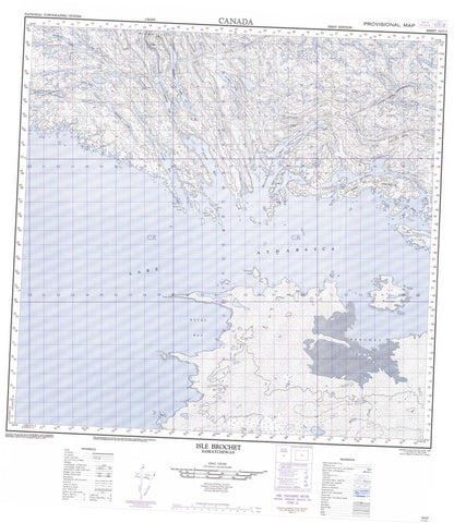
074O05 Isle Brochet Canada topo map, 1:50,000 scale
074O05 Isle Brochet NRCAN topographic map.
Includes UTM and GPS geographic coordinates (latitude and longitude). This 50k scale map is suitable for hiking, camping, and exploring, or you could frame it as a wall map.
Printed on-demand using high resolution, on heavy weight and acid free paper, or as an upgrade on a variety of synthetic materials.
Topos available on paper, Waterproof, Poly, or Tyvek. Usually shipping rolled, unless combined with other folded maps in one order.
- Product Number: NRCAN-074O05
- Parent Topo: TOPO-074O
- Map ID also known as: 074O05, 74O5, 74O05
- Unfolded Size: Approximately 26" high by 36" wide
- Weight (paper map): ca. 55 grams
- Map Type: POD NRCAN Topographic Map
- Map Scale: 1:50,000
- Geographical region: Saskatchewan, Canada
Neighboring Maps:
All neighboring Canadian topo maps are available for sale online at 1:50,000 scale.
Purchase the smaller scale map covering this area: Topo-074O
Spatial coverage:
Topo map sheet 074O05 Isle Brochet covers the following places:
- Adair Bay - Brochet Bay - Metos Bay - Narrow Bay - Wallace Bay - Wasahaw Bay - Natukam Peninsula - Poplar Point - Smith Peninsula - Fond du Lac 229 - Bells Island - Flat Rock Island - Isle Brochet - Lepus Island - Ross Island - Smith-Windsor Island - Smith-Windsor Islands - Aney Lake - Archie Lake - Kisiwak Lakes - Lac Athabasca - Lake Athabasca - Marion Lake - Mathews Lake - Oliphant Lake - Roberts Lake - Sapsford Lake - Beaver River - Helmer Creek


