
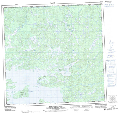
074N15 Burchnall Lake Canada topo map, 1:50,000 scale
074N15 Burchnall Lake NRCAN topographic map.
Includes UTM and GPS geographic coordinates (latitude and longitude). This 50k scale map is suitable for hiking, camping, and exploring, or you could frame it as a wall map.
Printed on-demand using high resolution, on heavy weight and acid free paper, or as an upgrade on a variety of synthetic materials.
Topos available on paper, Waterproof, Poly, or Tyvek. Usually shipping rolled, unless combined with other folded maps in one order.
- Product Number: NRCAN-074N15
- Parent Topo: TOPO-074N
- Map ID also known as: 074N15, 74N15
- Unfolded Size: Approximately 26" high by 36" wide
- Weight (paper map): ca. 55 grams
- Map Type: POD NRCAN Topographic Map
- Map Scale: 1:50,000
- Geographical region: Saskatchewan, Canada
Neighboring Maps:
All neighboring Canadian topo maps are available for sale online at 1:50,000 scale.
Purchase the smaller scale map covering this area: Topo-074N
Spatial coverage:
Topo map sheet 074N15 Burchnall Lake covers the following places:
- Abitau Bay - Anderson Bay - Ellefson Bay - Jones Bay - Lawley Bay - MacDonald Bay - McDonald Bay - Robertson Bay - Taz Bay - Anderson Peninsula - Clark Channel - Stratton Falls - Clark Island - Dewdney Island - Laird Island - Betts Lake - Burchnall Lake - Cameron Lake - Cayley Lake - Champagne Lake - Clinkskill Lake - Cuming Lake - Cuming Lake - Cummine Lake - Flynn Lake - Gass Lake - Gilliland Lake - Godfrey Lake - Greensky Lake - Hauk Lake - Insinger Lake - Kester Lake - Koester Lake - Lockinger Lake - Morlidge Lake - Nystrom Lakes - Nystrom Lakes - Opruk Lake - Patrick Lake - Sebelius Lake - Shea Lake - Shea Lake - Shults Lake - Soulier Lake - Sparkes Lake - Sparks Lake - Tazin Lake - Thibault Lake - Veraas Lake - Vulpes Lake - Moore Rapids - Abitau River - Abitau River - Conley Creek - Conley Creek - Ena River - Tazin River


