
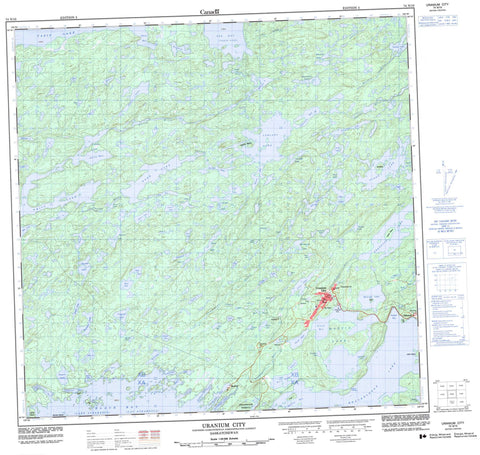
074N10 Uranium City Canada topo map, 1:50,000 scale
074N10 Uranium City NRCAN topographic map.
Includes UTM and GPS geographic coordinates (latitude and longitude). This 50k scale map is suitable for hiking, camping, and exploring, or you could frame it as a wall map.
Printed on-demand using high resolution, on heavy weight and acid free paper, or as an upgrade on a variety of synthetic materials.
Topos available on paper, Waterproof, Poly, or Tyvek. Usually shipping rolled, unless combined with other folded maps in one order.
- Product Number: NRCAN-074N10
- Parent Topo: TOPO-074N
- Map ID also known as: 074N10, 74N10
- Unfolded Size: Approximately 26" high by 36" wide
- Weight (paper map): ca. 55 grams
- Map Type: POD NRCAN Topographic Map
- Map Scale: 1:50,000
- Geographical region: Saskatchewan, Canada
Neighboring Maps:
All neighboring Canadian topo maps are available for sale online at 1:50,000 scale.
Purchase the smaller scale map covering this area: Topo-074N
Spatial coverage:
Topo map sheet 074N10 Uranium City covers the following places:
- Black Bay - Bushell Inlet - Cabin Bay - Cinch Bay - Clearwater Bay - Crackingstone Inlet - Dowson Bay - Erickson Inlet - Farrow Inlet - Garry Bay - Griffith Bay - Hanson Bay - Olson Bay - Orbit Bay - Padget Bay - Prospectors Bay - Rae Bay - Taz Bay - Whyte Bay - Crackingstone Peninsula - Gillies Channel - Uranium City - Cairns Island - Coward Island - Dennis Island - Dewar Island - Fold Island - Hofer Island - McLean Islands - Pratt Island - Stoik Island - Ulley Island - Augier Lake - Bahnuick Lake - Beaverlodge Lake - Bellegarde Lake - Berth Lake - Bertha Lake - Betty Lake - Blow Lake - Boom Lake - Boyce Lake - Bush Lake - Camel Lake - Carney Lake - Chance Lake - Cinch Lake - Clark Lake - Clavelle Lake - Clover Lake - Coe Lake - Court Lake - Currie Lake - Cuthill Lake - Dam Lake - Desjarlais Lake - Dezall Lake - Dive Lake - Don Lake - Doreen Lake - Eagle Lake - Elder Lake - Emu Lake - Fault Lake - Feil Lake - Finis Lake - Fold Lake - Folk Lake - Foot Lake - Frank Lake - Fredette Lake - Friesen Lake - Furulie Lake - Garry Lake - Gatzke Lake - Green Lake - Guest Lake - Gunn Lake - Guts Lake - Hal Lake - Harbottle Lake - Hardin Lake - Horse Lake - Jean Lake - Jeff Lake - Jen Lake - Jim Lake - Kadman Lake - Kaput Lake - Kisamisk Lake - Kvam Lake - Lac Athabasca - Lake Athabasca - Leask Lake - LeBlanc Lake - Leibel Lake - Mafic Lake - Maimann Lake - Martin Lake - Maunder Lake - McGraw Lake - Mead Lake - Melville Lake - Mud Pond - Neely Lake - Nero Lake - Nitche Lake - Onnie Lake - Orbit Lake - Palmer Lake - Papic Lake - Paul Lake - Pig Lake - Plug Lake - Pluton Lake - Powerline Lake - Rogers Lake - Run Lake - Seeger Lake - Shaft Lake - Short Lake - Silvester Lake - Smooth Lake - Smysniuk Lake - Spot Lake - Tam Lake - Tazin Lake - Triangle Lake - Usiske Lake - Valliere Lake - Waynert Lake - Webb Lake - Westlake Lake - White Lake - Wick Lake - Witt Lake - Wivcharuk Lake - Charlot River - Crackingstone River - Farrow Creek - Fredette River - Garry River - Powerline Creek - Taz Creek - Wiltse River - Bushell - Eldorado - Lorado


