
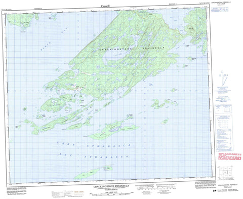
074N07 Crackingstone Peninsula Canada topo map, 1:50,000 scale
074N07 Crackingstone Peninsula NRCAN topographic map.
Includes UTM and GPS geographic coordinates (latitude and longitude). This 50k scale map is suitable for hiking, camping, and exploring, or you could frame it as a wall map.
Printed on-demand using high resolution, on heavy weight and acid free paper, or as an upgrade on a variety of synthetic materials.
Topos available on paper, Waterproof, Poly, or Tyvek. Usually shipping rolled, unless combined with other folded maps in one order.
- Product Number: NRCAN-074N07
- Parent Topo: TOPO-074N
- Map ID also known as: 074N07, 74N7, 74N07
- Unfolded Size: Approximately 26" high by 36" wide
- Weight (paper map): ca. 55 grams
- Map Type: POD NRCAN Topographic Map
- Map Scale: 1:50,000
- Geographical region: Saskatchewan, Canada
Neighboring Maps:
All neighboring Canadian topo maps are available for sale online at 1:50,000 scale.
Purchase the smaller scale map covering this area: Topo-074N
Spatial coverage:
Topo map sheet 074N07 Crackingstone Peninsula covers the following places:
- Barritt Bay - Black Bay - Chapman Bay - Dixon Bay - Edgar Bay - Elliot Bay - Grouse Bay - Gruchy Bay - Hanson Bay - Heinen Bay - Henderson Bay - Jug Bay - Keddy Bay - Langley Bay - Lodge Bay - Neiman Bay - Picnic Bay - Sharp Bay - Box Point - Crackingstone Peninsula - Crackingstone Point - Elliot Point - Feather Peninsula - Grouse Point - Gruchy Point - St. Joseph's Point - Stewart Point - Strike Point - Blair Channel - Nunim Channel - St. Marys Channel - Tipinuwak Channel - Anderson Island - Assaf Islands - Beaverlodge Island - Cairns Island - Course Island - Duffy Island - Foster Island - Freeston Island - Grouse Island - Harkness Islands - Harmon Island - Hilyard Island - Johnston Island - Long Island - Mahood Island - McLean Islands - Mitchell Island - Mudford Island - Nistewuk Islands - Pebble Island - Pupuskew Islands - Sampson Island - Skeates Island - Stead Island - Steeden Island - Stewart Island - Tulloch Islands - Zapfe Island - Aadland Lake - Adair Lake - Anderson Lake - Armbruster Lake - Beale Lake - Beaverlodge Lake - Beise Lake - Bisschop Lake - Blake Lake - Brown Lake - Burns Lake - Cave Lake - Chester Lake - Chimo Lake - Cogger Lake - Conn Lake - Daw Lake - Dermody Lake - Dohoo Lake - Elliot Lake - Foster Lake - Frontier Lake - Hay Lake - Heatherington Lake - Hislop Lake - Holden Lake - Howland Lake - Hugo Lake - Hunter Lake - Hurd Lake - Jackpot Lake - Jahnke Lake - Johnston Lake - Joyce Lake - Keeper Lake - Lac Athabasca - Lake Athabasca - Maynard Lake - McNeil Lake - McNie Lake - Meagher Lake - Milliken Lake - Milward Lake - Mudford Lake - Peebles Lake - Rodman Lake - Smith Lake - Spring Lake - Thompson Lake - Vemban Lake - Vic Lake - Beaverlodge Mountain - Elliot Creek - Hill Creek - Hislop Creek - Moore Creek - Thompson Creek - Zeemel Creek - Gunnar - Lorado


