
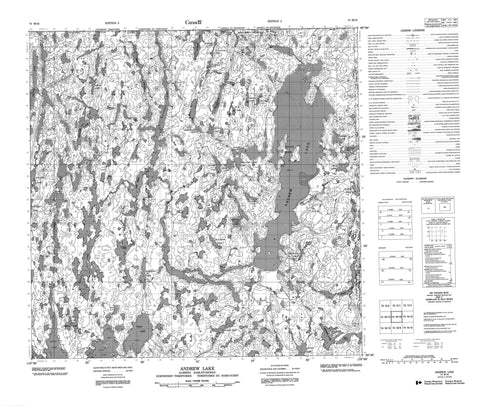
074M16 Andrew Lake Canada topo map, 1:50,000 scale
074M16 Andrew Lake NRCAN topographic map.
Includes UTM and GPS geographic coordinates (latitude and longitude). This 50k scale map is suitable for hiking, camping, and exploring, or you could frame it as a wall map.
Printed on-demand using high resolution, on heavy weight and acid free paper, or as an upgrade on a variety of synthetic materials.
Topos available on paper, Waterproof, Poly, or Tyvek. Usually shipping rolled, unless combined with other folded maps in one order.
- Product Number: NRCAN-074M16
- Parent Topo: TOPO-074M
- Map ID also known as: 074M16, 74M16
- Unfolded Size: Approximately 26" high by 36" wide
- Weight (paper map): ca. 55 grams
- Map Type: POD NRCAN Topographic Map
- Map Scale: 1:50,000
- Geographical region: Alberta, Canada
Neighboring Maps:
All neighboring Canadian topo maps are available for sale online at 1:50,000 scale.
Purchase the smaller scale map covering this area: Topo-074M
Spatial coverage:
Topo map sheet 074M16 Andrew Lake covers the following places:
- Wallace Island - Andrew Lake - Ashton Lake - Bailey Lake - Bayonet Lake - Brock Lake - Camsell Lake - Charles Lake - Cherry Lake - Cinderella Lake - Collins Lake - Dawson Lake - Doze Lake - Doze Lake - Dumbell Lake - Eagle Lake - Flagon Lake - Flagon Lake - Geikie Lake - Harker Lake - Harker Lake - Henson Lake - Holmes Lake - Horberg Lake - Hutton Lake - Inkster Lake - Inkster Lake - Johnson Lake - Lindgren Lake - Logan Lake - Martyn Lake - McCowan Lake - Miles Lake - Murchison Lake - Mylonite Lake - Ney Lake - Ney Lake - Niggli Lake - One Week Lake - Pans Lake - Potts Lake - Pythagoras Lake - Rutledge Lake - Sederholm Lake - Selwyn Lake - Spider Lake - Split Lakes - Spur Lake - Swinnerton Lake - Treasure Loch - Waugh Lake - Waugh Lake - Wells Lake - Wells Lake - William Smith Lake


