
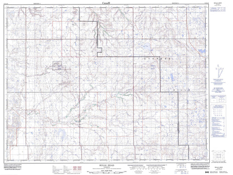
072E10 Bulls Head Canada topo map, 1:50,000 scale
072E10 Bulls Head NRCAN topographic map.
Includes UTM and GPS geographic coordinates (latitude and longitude). This 50k scale map is suitable for hiking, camping, and exploring, or you could frame it as a wall map.
Printed on-demand using high resolution, on heavy weight and acid free paper, or as an upgrade on a variety of synthetic materials.
Topos available on paper, Waterproof, Poly, or Tyvek. Usually shipping rolled, unless combined with other folded maps in one order.
- Product Number: NRCAN-072E10
- Parent Topo: TOPO-072E
- Map ID also known as: 072E10, 72E10
- Unfolded Size: Approximately 26" high by 36" wide
- Weight (paper map): ca. 55 grams
- Map Type: POD NRCAN Topographic Map
- Map Scale: 1:50,000
- Geographical region: Alberta, Canada
Neighboring Maps:
All neighboring Canadian topo maps are available for sale online at 1:50,000 scale.
Purchase the smaller scale map covering this area: Topo-072E
Spatial coverage:
Topo map sheet 072E10 Bulls Head covers the following places:
- Buffalo Lake - Rush Lake - Bulls Head - Bullshead Butte - Bullshead Hill - Cypress Hills - Peace Butte - County of Forty Mile No. 8 - Municipal District of Cypress - Municipal District of Cypress No. 1 - Red Rock Coulee Natural Area - Bullshead Creek - Fourways Creek - Manyberries Creek - Peigan Creek - Seven Persons Creek - Sevenpersons Creek - Sevenpersons River - Timber Creek - Little Plume - Ranchville - Wisdom - Red Rock Coulée - Rogers Coulee - Woltan Coulee


