
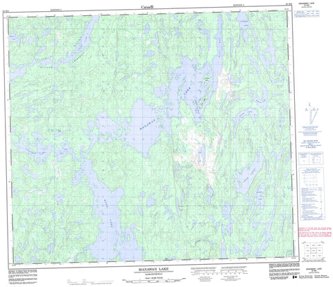
063M06 Manawan Lake Canada topo map, 1:50,000 scale
063M06 Manawan Lake NRCAN topographic map.
Includes UTM and GPS geographic coordinates (latitude and longitude). This 50k scale map is suitable for hiking, camping, and exploring, or you could frame it as a wall map.
Printed on-demand using high resolution, on heavy weight and acid free paper, or as an upgrade on a variety of synthetic materials.
Topos available on paper, Waterproof, Poly, or Tyvek. Usually shipping rolled, unless combined with other folded maps in one order.
- Product Number: NRCAN-063M06
- Parent Topo: TOPO-063M
- Map ID also known as: 063M06, 63M6, 63M06
- Unfolded Size: Approximately 26" high by 36" wide
- Weight (paper map): ca. 55 grams
- Map Type: POD NRCAN Topographic Map
- Map Scale: 1:50,000
- Geographical region: Saskatchewan, Canada
Neighboring Maps:
All neighboring Canadian topo maps are available for sale online at 1:50,000 scale.
Purchase the smaller scale map covering this area: Topo-063M
Spatial coverage:
Topo map sheet 063M06 Manawan Lake covers the following places:
- Jones Bay - Watt Bay - Manawanstawayak 230 - Atchison Island - Hunt Island - Cann Lake - Chachukew Lake - Contest Lake - Lindstrom Lake - Lobb Lake - Madden Lake - Manawan Lake - Mulligan Lake - Pixley Lake - Preston Lake - Raven Lake - Seigel Lake - Siegel Lake - Syntak Lake - Tapeese Lake - Ukoop Lake - Uskik Lake - Wood Lake - Churchill River - Rivière Churchill


