
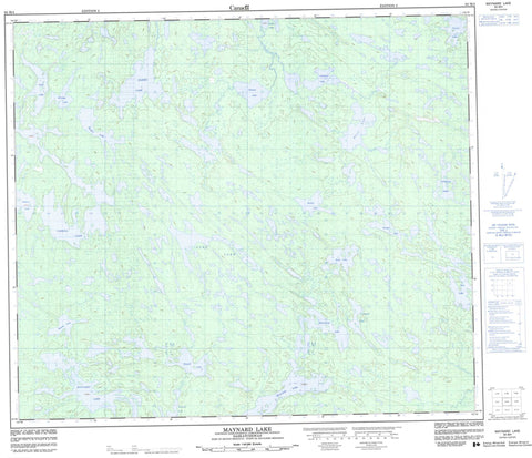
063M04 Maynard Lake Canada topo map, 1:50,000 scale
063M04 Maynard Lake NRCAN topographic map.
Includes UTM and GPS geographic coordinates (latitude and longitude). This 50k scale map is suitable for hiking, camping, and exploring, or you could frame it as a wall map.
Printed on-demand using high resolution, on heavy weight and acid free paper, or as an upgrade on a variety of synthetic materials.
Topos available on paper, Waterproof, Poly, or Tyvek. Usually shipping rolled, unless combined with other folded maps in one order.
- Product Number: NRCAN-063M04
- Parent Topo: TOPO-063M
- Map ID also known as: 063M04, 63M4, 63M04
- Unfolded Size: Approximately 26" high by 36" wide
- Weight (paper map): ca. 55 grams
- Map Type: POD NRCAN Topographic Map
- Map Scale: 1:50,000
- Geographical region: Saskatchewan, Canada
Neighboring Maps:
All neighboring Canadian topo maps are available for sale online at 1:50,000 scale.
Purchase the smaller scale map covering this area: Topo-063M
Spatial coverage:
Topo map sheet 063M04 Maynard Lake covers the following places:
- Arn Lake - Birkett Lake - Boehm Lake - Brownell Lake - Carroll Lake - Copeland Lake - Darieu Lake - Eldridge Lake - Fletcher Lake - Hintz Lake - Hopper Lake - Horst Lake - Jacques Lake - Kvamsing Lake - Lepp Lake - Massey Lake - Maynard Lake - Nicholson Lake - Park Lake - Rustad Lake - Sadler Lake - Stilborn Lake - Vincent Lake


