
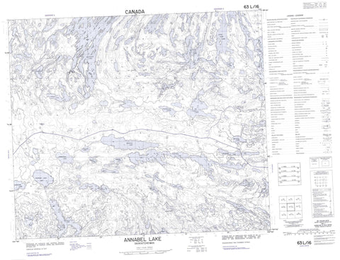
063L16 Annabel Lake Canada topo map, 1:50,000 scale
063L16 Annabel Lake NRCAN topographic map.
Includes UTM and GPS geographic coordinates (latitude and longitude). This 50k scale map is suitable for hiking, camping, and exploring, or you could frame it as a wall map.
Printed on-demand using high resolution, on heavy weight and acid free paper, or as an upgrade on a variety of synthetic materials.
Topos available on paper, Waterproof, Poly, or Tyvek. Usually shipping rolled, unless combined with other folded maps in one order.
- Product Number: NRCAN-063L16
- Parent Topo: TOPO-063L
- Map ID also known as: 063L16, 63L16
- Unfolded Size: Approximately 26" high by 36" wide
- Weight (paper map): ca. 55 grams
- Map Type: POD NRCAN Topographic Map
- Map Scale: 1:50,000
- Geographical region: Saskatchewan, Canada
Neighboring Maps:
All neighboring Canadian topo maps are available for sale online at 1:50,000 scale.
Purchase the smaller scale map covering this area: Topo-063L
Spatial coverage:
Topo map sheet 063L16 Annabel Lake covers the following places:
- Bartlam Bay - Bellamy Bay - Gebert Bay - Jones Bay - Long Bay - Roberts Bay - Waldron Bay - West Arm - Williams Bay - North Channel - Baller Island - Fisher Island - Hoffman Island - Pechey Island - Reid Island - Abbott Lake - Ahrens Lake - Alder Lake - Amisk Lake - Amy Lake - Annabel Lake - Apetow Lake - Arner Lake - Baht Lake - Batty Lake - Beatty Lake - Black Lake - Carr Lake - Cotteral Lake - Deadhorse Lake - FitzGerald Lake - Froom Lake - Grassy Lake - Hawman Lake - Jardine Lake - Johnson Lake - Judique Lake - Kibzey Lake - Le Barre Lake - Leach Lake - Lederhaus Lake - Limit Lake - Little Mari Lake - Little Otonadah Lake - Magdalen Lake - Mari Lake - Martin Lake - Maskunow Lake - Matheson Lake - Meridian Lake - Neagle Lake - Nesootao Lakes - Nichol Lake - Otonadah Lake - Phillips Lake - Prentice Lake - Raft Lake - Reynolds Lake - Ripley Lake - Russell Lake - Trent Lake - Tyreman Lake - Tyrrell Lake - Vass Lake - Walker Lake - Welsh Lake - Whitbread Lake - Wildfong Lake - Wildnest Lake - Wilson Lake - Wormworth Lake - Wye Lake - Yaskowich Lake - Young Lake - Canadian Forces Station Flin Flon - Station des Forces canadiennes Flin Flon - Tyrell Lake Recreation Site - Annabel Creek - Macdonald Creek - Robinson Creek - Wildnest River


