
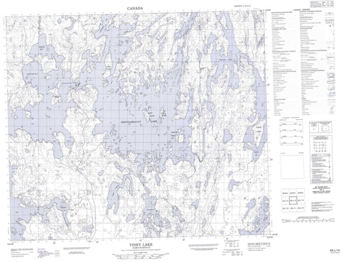
063L14 Viney Lake Canada topo map, 1:50,000 scale
063L14 Viney Lake NRCAN topographic map.
Includes UTM and GPS geographic coordinates (latitude and longitude). This 50k scale map is suitable for hiking, camping, and exploring, or you could frame it as a wall map.
Printed on-demand using high resolution, on heavy weight and acid free paper, or as an upgrade on a variety of synthetic materials.
Topos available on paper, Waterproof, Poly, or Tyvek. Usually shipping rolled, unless combined with other folded maps in one order.
- Product Number: NRCAN-063L14
- Parent Topo: TOPO-063L
- Map ID also known as: 063L14, 63L14
- Unfolded Size: Approximately 26" high by 36" wide
- Weight (paper map): ca. 55 grams
- Map Type: POD NRCAN Topographic Map
- Map Scale: 1:50,000
- Geographical region: Saskatchewan, Canada
Neighboring Maps:
All neighboring Canadian topo maps are available for sale online at 1:50,000 scale.
Purchase the smaller scale map covering this area: Topo-063L
Spatial coverage:
Topo map sheet 063L14 Viney Lake covers the following places:
- Brock Bay - Crooked Bay - Fisher Bay - Hidden Bay - Northeast Arm - Northwest Arm - Portage Bay - South Arm - Southeast Arm - Twin Bays - Wilkin Bay - Deschambault Channel - Kimosom Pwatinahk 203 - Mistik - Blackwood Islands - Carey Island - Ellis Island - George Island - Harper Island - McIntyre Island - Robertson Island - Tower Island - Deschambault Lake - Jan Lake - Lloyd Lake - Myers Lake - Pelican Lake - Tulabi Lake - Viney Lake - Wright Lake - Palf Creek - Deschambault Lake


