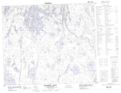
063L10 Hanson Lake Canada topo map, 1:50,000 scale
063L10 Hanson Lake NRCAN topographic map.
Includes UTM and GPS geographic coordinates (latitude and longitude). This 50k scale map is suitable for hiking, camping, and exploring, or you could frame it as a wall map.
Printed on-demand using high resolution, on heavy weight and acid free paper, or as an upgrade on a variety of synthetic materials.
Topos available on paper, Waterproof, Poly, or Tyvek. Usually shipping rolled, unless combined with other folded maps in one order.
- Product Number: NRCAN-063L10
- Parent Topo: TOPO-063L
- Map ID also known as: 063L10, 63L10
- Unfolded Size: Approximately 26" high by 36" wide
- Weight (paper map): ca. 55 grams
- Map Type: POD NRCAN Topographic Map
- Map Scale: 1:50,000
- Geographical region: Saskatchewan, Canada
Neighboring Maps:
All neighboring Canadian topo maps are available for sale online at 1:50,000 scale.
Purchase the smaller scale map covering this area: Topo-063L
Spatial coverage:
Topo map sheet 063L10 Hanson Lake covers the following places:
- Agnew Bay - Bertrum Bay - Botham Bay - Burn Bay - Dacite Bay - Emerson Bay - Explorers Bay - Finger Bay - McIlvenna Bay - Middlemiss Bay - Pearce Bay - Sareco Bay - Winn Bay - Allen Peninsula - Finger Peninsula - Robinson Point - Bluebird Island - Sareco Island - Seivewright Island - Winn Island - Acheninni Lake - Attree Lake - Bad Carrot Lake - Bay Lake - Blackduck Lake - Chip Lake - Chisholm Lake - Crang Lake - Fly Lakes - Geal Lake - Geol Lake - Guyader Lake - Halfway Lake - Hanson Lake - Hobbs Lake - Hollingdale Lake - Jackpine Lake - Keputch Lake - Kerr Lake - Leskiw Lake - McDermott Lake - Ministik Lake - Miskat Lake - Mitoskwun Lake - Morton Lake - Nicu Lake - Oatway Lake - Oskatukaw Lake - Pasowun Lake - Philmitchell Lake - Sakuwasin Lake - Samples Lake - Seahorse Lake - Sewap Lake - Shuttleworth Lake - Side Lake - Steeprock Lake - Stringer Lake - Tulabi Lake - Usinne Lake - Wakisew Lake - Wapusk Lake - Hanson Lake Recreation Site - Snake Rapids - Attree Creek - Bad Carrot River - Grassberry River - Hanson River - Howlett Creek - Sinclair Creek - Sturgeon-weir River - Williams Creek


