
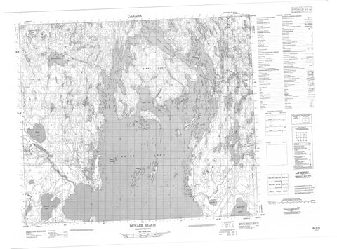
063L09 Denare Beach Canada topo map, 1:50,000 scale
063L09 Denare Beach NRCAN topographic map.
Includes UTM and GPS geographic coordinates (latitude and longitude). This 50k scale map is suitable for hiking, camping, and exploring, or you could frame it as a wall map.
Printed on-demand using high resolution, on heavy weight and acid free paper, or as an upgrade on a variety of synthetic materials.
Topos available on paper, Waterproof, Poly, or Tyvek. Usually shipping rolled, unless combined with other folded maps in one order.
- Product Number: NRCAN-063L09
- Parent Topo: TOPO-063L
- Map ID also known as: 063L09, 63L9, 63L09
- Unfolded Size: Approximately 26" high by 36" wide
- Weight (paper map): ca. 55 grams
- Map Type: POD NRCAN Topographic Map
- Map Scale: 1:50,000
- Geographical region: Saskatchewan, Canada
Neighboring Maps:
All neighboring Canadian topo maps are available for sale online at 1:50,000 scale.
Purchase the smaller scale map covering this area: Topo-063L
Spatial coverage:
Topo map sheet 063L09 Denare Beach covers the following places:
- Comeback Bay - Grant Bay - Hannay Bay - McKenzie Bay - Missi Bay - Moody Bay - Muskeg Bay - Muskey Bay - Ospwakun Bay - Sandy Bay - Shwaga Bay - Soeder Bay - Hudson Bay Point - East Channel - North Channel - West Channel - Amisk Lake 184 - Angell Island - Carpenter Island - Casey Island - Chamney Island - Chase Island - Craig Island - Crater Island - Eaton Island - Fenton Island - Gauthier Island - Ham Island - Hannay Island - Hayes Island - Ing Island - Iskwasoo Island - Lookout Island - McGown Island - Missi Island - Newfoundland Island - Parker Island - Soeder Island - Sparling Island - Torrington Island - Vances Island - Waverley Island - Wilson Island - Winterton Island - Amisk Lake - Balsam Lake - Barney Lake - Birch Lake - Brain Lake - Brutus Lake - Burton Lake - Cable Lake - Carson Lake - Cougal Lake - Echo Lake - Errington Lake - Hambly Lake - Jardine Lake - Konuto Lake - Laural Lake - Magdalen Lake - Maraiche Lake - McMurdo Lake - McNally Lake - Meaney Lake - Mosher Lake - Neagle Lake - Oddan Lake - Phil Lake - Ramble Lake - Reynard Lake - Ruth Lake - Shkwarok Lake - Stitt Lake - Table Lake - Tanyss Lake - Usinne Lake - Wolf Lake - Wolverine Lake - Canadian Forces Station Flin Flon - Station des Forces canadiennes Flin Flon - Amisk Lake Recreation Site - Meridian Creek Recreation Site - Spruce Rapids - Blondeau Creek - Meridian Creek - Neagle Creek - Robinson Creek - Sturgeon-weir River - Williams Creek - Denare Beach


