
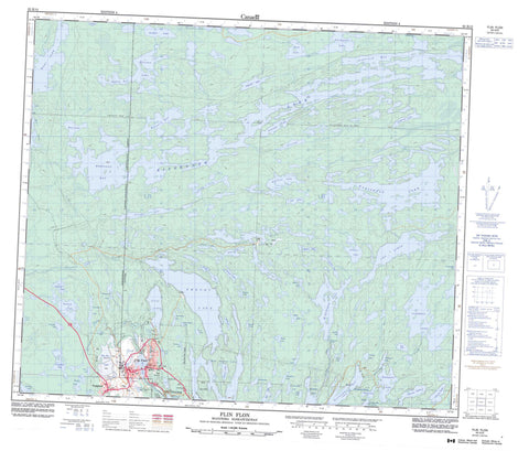
063K13 Flin Flon Canada topo map, 1:50,000 scale
063K13 Flin Flon NRCAN topographic map.
Includes UTM and GPS geographic coordinates (latitude and longitude). This 50k scale map is suitable for hiking, camping, and exploring, or you could frame it as a wall map.
Printed on-demand using high resolution, on heavy weight and acid free paper, or as an upgrade on a variety of synthetic materials.
Topos available on paper, Waterproof, Poly, or Tyvek. Usually shipping rolled, unless combined with other folded maps in one order.
- Product Number: NRCAN-063K13
- Parent Topo: TOPO-063K
- Map ID also known as: 063K13, 63K13
- Unfolded Size: Approximately 26" high by 36" wide
- Weight (paper map): ca. 55 grams
- Map Type: POD NRCAN Topographic Map
- Map Scale: 1:50,000
- Geographical region: Manitoba, Canada
Neighboring Maps:
All neighboring Canadian topo maps are available for sale online at 1:50,000 scale.
Purchase the smaller scale map covering this area: Topo-063K
Spatial coverage:
Topo map sheet 063K13 Flin Flon covers the following places:
- Haskin Bay - Haskin Bay - Lobstick Bay - North Arm - Northwest Arm - Sourdough Bay - Thompson Bay - Weasel Bay - Weetago Bay - Flin Flon - Mikanagan Falls - Big Island - Mills Island - Alberts Lake - Alleyn Lake - Amulet Lake - Animus Lake - Arthurs Lake - Athapapuskow Lake - Bartley Lake - Bath Lake - Batters Lake - Bear Lake - Beaverdam Lake - Benn Lake - Big Charlie Lake - Big Island Lake - Bluenose Lake - Bryan Lake - Cacholotte Lake - Cliff Lake - Club Lake - Cope Lake - Creighton Lake - Defender Lake - Dubnick Lake - Eagle Head Lake - Embury Lake - Flin Flon Lake - Flintoba Lake - Florence Lake - Florence Lake - Flux Lake - Forester Lake - Foul Lake - Grant Lake - Hamell Lake - Hapnot Lake - Hapnot Lake - Hidden Lake - Hilary Lake - Imperial Lake - Jenny Lake - Jersey Lake - Key Lake - Kisseynew Lake - Kisseynew Lake - Krasny Lake - Lac Aimée - Leo Lake - Limit Lake - Little Charlie Lake - Little Cliff Lake - Loughnan Lake - Louis Lake - Manistikwan Lake - Mari Lake - McBratney Lake - McMurtry Lake - McWater Lake - Meridian Lake - Mikanagan Lake - Mud Lake - Murray Lake - Naosap Mud Lake - Newman Lake - Nordick Lake - Oblong Lake - One Portage Lake - Pistol Lake - Precipice Lake - Precipice Lake - Reddy Lake - Rosenberg Lake - Ross Lake - Ross Lake - Ruby Lake - Sawmill Lake - Schist Lake - Shore Lake - Slug Lake - Smook Lake - Solodiuk Lake - Spike Lake - Standing Lake - Steeves Lake - Swordfish Lake - Tartan Lake - Thompson Lake - Tooth Lake - Triangle Lake - Two Portage Lake - Vick Lake - Wabishkok Lake - Ward Lake - Wayte Lake - Whitefish Lake - Whitehead Lake - Canadian Forces Station Flin Flon - Station des Forces canadiennes Flin Flon - Manitoba - Saskatchewan - Annabel Creek - Annabel Creek - Creighton Creek - Flin Flon Creek - Flin Flon Creek - Flintoba Creek - Kississing River - Pineroot River - Ross Creek - Ross Creek - Creighton - Channing - Flin Flon


