
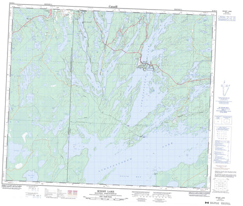
063K12 Schist Lake Canada topo map, 1:50,000 scale
063K12 Schist Lake NRCAN topographic map.
Includes UTM and GPS geographic coordinates (latitude and longitude). This 50k scale map is suitable for hiking, camping, and exploring, or you could frame it as a wall map.
Printed on-demand using high resolution, on heavy weight and acid free paper, or as an upgrade on a variety of synthetic materials.
Topos available on paper, Waterproof, Poly, or Tyvek. Usually shipping rolled, unless combined with other folded maps in one order.
- Product Number: NRCAN-063K12
- Parent Topo: TOPO-063K
- Map ID also known as: 063K12, 63K12
- Unfolded Size: Approximately 26" high by 36" wide
- Weight (paper map): ca. 55 grams
- Map Type: POD NRCAN Topographic Map
- Map Scale: 1:50,000
- Geographical region: Manitoba, Canada
Neighboring Maps:
All neighboring Canadian topo maps are available for sale online at 1:50,000 scale.
Purchase the smaller scale map covering this area: Topo-063K
Spatial coverage:
Topo map sheet 063K12 Schist Lake covers the following places:
- Becker Bay - Brownie Bay - Eight Chain Bay - Green Bay - Hutton Bay - Inlet Arm - Jackfish Bay - McFee Bay - North Arm - Northeast Arm - Northwest Arm - Pickerel Bay - Potter Bay - Quarry Bay - Schieders Bay - Schist Bay - Sharpe Bay - Sourdough Bay - South Bay - Thompson Bay - West Arm - West Arm - West Arm - West Arm - Woodsworth Bay - Wright Bay - Athapap Beach - Blondy Beach - Limestone Beach - Corkys Point - Fishermans Point - Bakers Narrows - Limestone Narrows - Mink Narrows - Quarry Bay Channel - Tincan Narrows - Flin Flon - Big Island - Stitt Island - Arthur Lake - Athapapuskow Lake - Athapapuskow Lake - Barney Lake - Bazinet Lake - Bear Lake - Beaverhouse Lake - Big Island Lake - Bomber Lake - Boot Lake - Bootleg Lake - Borne Lake - Burley Lake - Byklum Lake - Carlisle Lake - Carlisle Lake - Craig Lake - Dion Lake - Douglas Lake - Echo Lake - Green Lake - Hartnett Lake - Hook Lake - Insole Lake - Johnson Lake - Jorgensen Lake - Kaminis Lake - Kaminis Lake - Key Lake - Kinsella Lake - Ledge Lake - Ledge Lake - Little Spruce Lake - Liz Lake - Lonesome Lake - Lynx Lake - Manistikwan Lake - McRobbie Lake - Meridian Lake - Milliken Lake - Mitt Lake - Myo Lake - Mystic Lake - Nepe (Leaf) Lake - Neso Lake - Newman Lake - Nisto Lake - Patmore Lake - Payuk Lake - Persian Lake - Phantom Lake - Phantom Lake - Phil Lake - Pothook Lake - Potter Bay - Probert Lake - Rennie Lake - Reynard Lake - Rochon Lake - Schist Lake - Schist Lake - Scotty Lake - Sleep Lake - Spectral Lake - Tanyss Lake - Taylor Lake - We Lake - Wekach Lake - White Lake - Whitefish Lake - Wonderland Lake - Canadian Forces Station Flin Flon - Station des Forces canadiennes Flin Flon - Bakers Narrows Provincial Park - Bakers Narrows Provincial Recreation Park - Billy Boy Provincial Recreation Park - Neso Lake Provincial Park - Manitoba - Saskatchewan - Big Island Creek - Meridian Creek - Mistik Creek - Pineroot River - Ross Creek - Schist Creek - Athapap Road - Creighton - Athapap - Bakers Narrows - Big Island Lake - Camp Whitney - Channing - Millwater - Payuk - Phantom Beach - Schist Lake - Schist Lake


