
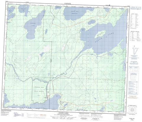
063K05 Goose Lake Canada topo map, 1:50,000 scale
063K05 Goose Lake NRCAN topographic map.
Includes UTM and GPS geographic coordinates (latitude and longitude). This 50k scale map is suitable for hiking, camping, and exploring, or you could frame it as a wall map.
Printed on-demand using high resolution, on heavy weight and acid free paper, or as an upgrade on a variety of synthetic materials.
Topos available on paper, Waterproof, Poly, or Tyvek. Usually shipping rolled, unless combined with other folded maps in one order.
- Product Number: NRCAN-063K05
- Parent Topo: TOPO-063K
- Map ID also known as: 063K05, 63K5, 63K05
- Unfolded Size: Approximately 26" high by 36" wide
- Weight (paper map): ca. 55 grams
- Map Type: POD NRCAN Topographic Map
- Map Scale: 1:50,000
- Geographical region: Manitoba, Canada
Neighboring Maps:
All neighboring Canadian topo maps are available for sale online at 1:50,000 scale.
Purchase the smaller scale map covering this area: Topo-063K
Spatial coverage:
Topo map sheet 063K05 Goose Lake covers the following places:
- Camp Two Bay - Medrick Bay - Newland Bay - South Bay - Sturgeon Landing - Sturgeon Weir 184F - Sturgeon Weir 205 - Niska Island - Athapapuskow Lake - Barbe Lake - Chocolate Lake - Egg Lake - Goldthorpe Lake - Goose Lake - Maraiche Lake - Moller Lake - Namew Lake - Namew Lake - Nepe (Leaf) Lake - Saskoba Lake - Saskoba Lake - Yarush Lake - Niska Rapids - Two Mile Rapids - Goose River - Goose River - Sturgeon-weir River - Athapap Road - Namew Lake Road - Ess Slough


