
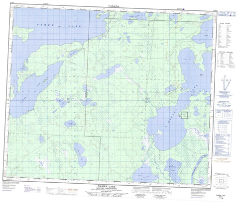
063K04 Namew Lake Canada topo map, 1:50,000 scale
063K04 Namew Lake NRCAN topographic map.
Includes UTM and GPS geographic coordinates (latitude and longitude). This 50k scale map is suitable for hiking, camping, and exploring, or you could frame it as a wall map.
Printed on-demand using high resolution, on heavy weight and acid free paper, or as an upgrade on a variety of synthetic materials.
Topos available on paper, Waterproof, Poly, or Tyvek. Usually shipping rolled, unless combined with other folded maps in one order.
- Product Number: NRCAN-063K04
- Parent Topo: TOPO-063K
- Map ID also known as: 063K04, 63K4, 63K04
- Unfolded Size: Approximately 26" high by 36" wide
- Weight (paper map): ca. 55 grams
- Map Type: POD NRCAN Topographic Map
- Map Scale: 1:50,000
- Geographical region: Manitoba, Canada
Neighboring Maps:
All neighboring Canadian topo maps are available for sale online at 1:50,000 scale.
Purchase the smaller scale map covering this area: Topo-063K
Spatial coverage:
Topo map sheet 063K04 Namew Lake covers the following places:
- Cross Bay - Lairs Bay - Merle Bay - Coffee Point - Sturgeon Point - Tea Point - Opaskwayak Cree Nation 21L - Réserve indienne Rocky Lake 21L - Rocky Lake Indian Reserve 21L - Kirk Island - Seagull Island - Atik Lake - Barrier Lake - Bignell Lake - Chocolate Lake - Cross Lake - Frewen Lake - Hagan Lake - Hoar Lake - Keyaskoskak Lake - Namew Lake - Namew Lake - Poulin Lake - Rocky Lake - Scaler Lake - Two Loon Lake - Wanastikwayak Lake - Yarush Lake - Saskeram Wildlife Management Area - Maria Creek - Paykatuwan Creek - Rivière Saskatchewan - Saskatchewan River - Big Bend


