
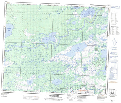
063F13 Barrier Lake Canada topo map, 1:50,000 scale
063F13 Barrier Lake NRCAN topographic map.
Includes UTM and GPS geographic coordinates (latitude and longitude). This 50k scale map is suitable for hiking, camping, and exploring, or you could frame it as a wall map.
Printed on-demand using high resolution, on heavy weight and acid free paper, or as an upgrade on a variety of synthetic materials.
Topos available on paper, Waterproof, Poly, or Tyvek. Usually shipping rolled, unless combined with other folded maps in one order.
- Product Number: NRCAN-063F13
- Parent Topo: TOPO-063F
- Map ID also known as: 063F13, 63F13
- Unfolded Size: Approximately 26" high by 36" wide
- Weight (paper map): ca. 55 grams
- Map Type: POD NRCAN Topographic Map
- Map Scale: 1:50,000
- Geographical region: Manitoba, Canada
Neighboring Maps:
All neighboring Canadian topo maps are available for sale online at 1:50,000 scale.
Purchase the smaller scale map covering this area: Topo-063F
Spatial coverage:
Topo map sheet 063F13 Barrier Lake covers the following places:
- Barrier Settlement - Pasquia Settlement - Cook Island - Pear Island - Barrier Lake - Barrier Lake - Belanger Lake - Between Lake - Bignell Lake - Birch Lake - Kakeyaskooskak Lake - Kakeyskachak Lake - Kamasikomak Lake - Keyasko Lake - Mustutimmuskisin Lake - North Mistuhe Lake - Omistakwayow Lake - Sapaskoo Lake - Saskeram Lake - Wanastikwayak Lake - Watkins Lake - Watseskwatapi Lake - Saskeram Wildlife Management Area - Birch River - Birch River - Carrot River - Carrot River - Cooks Creek - Culdesac River - Culdesac River - Elm Creek - Elm Creek - Elm Creek - Maria Creek - Murphy Creek - Murphy Creek - Petabec Creek - Rivière Saskatchewan - Rivière Saskatchewan - Salt Channel - Sapaskoo Creek - Saskatchewan River - Saskatchewan River - Saskeram River - Saskeram River - Tearing River - Wuskay Creek - Mustutimmuskisin Marsh


