
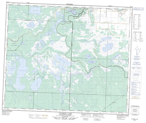
063F12 Culdesac Lake Canada topo map, 1:50,000 scale
063F12 Culdesac Lake NRCAN topographic map.
Includes UTM and GPS geographic coordinates (latitude and longitude). This 50k scale map is suitable for hiking, camping, and exploring, or you could frame it as a wall map.
Printed on-demand using high resolution, on heavy weight and acid free paper, or as an upgrade on a variety of synthetic materials.
Topos available on paper, Waterproof, Poly, or Tyvek. Usually shipping rolled, unless combined with other folded maps in one order.
- Product Number: NRCAN-063F12
- Parent Topo: TOPO-063F
- Map ID also known as: 063F12, 63F12
- Unfolded Size: Approximately 26" high by 36" wide
- Weight (paper map): ca. 55 grams
- Map Type: POD NRCAN Topographic Map
- Map Scale: 1:50,000
- Geographical region: Manitoba, Canada
Neighboring Maps:
All neighboring Canadian topo maps are available for sale online at 1:50,000 scale.
Purchase the smaller scale map covering this area: Topo-063F
Spatial coverage:
Topo map sheet 063F12 Culdesac Lake covers the following places:
- Pasquia Settlement - Carrot River Indian Reserve 27A - Opaskwayak Cree Nation 27A - Opaskwayak Cree Nation Salt Channel 21D - Réserve indienne Carrot River 27A - Réserve indienne Salt Channel 21D - Salt Channel Indian Reserve 21D - Bainbridge Lake - Boundary Lake - Carrot Lake - Cheekatinaw Lake - Culdesac Lake - Culdesac Lake - Elm Lake - Helldiver Lake - Kameyaymoostosun Lake - Loon Lake - Murphy Lake - Nakuchi Lake - Niska Lake - Nosamwokwu Lake - Nosamwokwu Lake - South Mistuhe Lake - Symons Lake - Turnberry Lake - Wapeechaykoskasik Lake - Hudson Bay No. 394 - Culdesac Lake Recreation Site - Bainbridge River - Carrot River - Carrot River - Culdesac River - Culdesac River - Elm Creek - Murphy Creek - Murphy Creek - Niska Creek - Pasquia River - Pasquia River - Sale Creek - Salt Channel - Stony Creek - Tea Creek - Thickbush Creek - Waskwei River - Whitepoplar Creek - Whitehorn - Whithorn


