
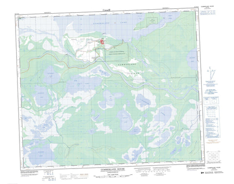
063E16 Cumberland House Canada topo map, 1:50,000 scale
063E16 Cumberland House NRCAN topographic map.
Includes UTM and GPS geographic coordinates (latitude and longitude). This 50k scale map is suitable for hiking, camping, and exploring, or you could frame it as a wall map.
Printed on-demand using high resolution, on heavy weight and acid free paper, or as an upgrade on a variety of synthetic materials.
Topos available on paper, Waterproof, Poly, or Tyvek. Usually shipping rolled, unless combined with other folded maps in one order.
- Product Number: NRCAN-063E16
- Parent Topo: TOPO-063E
- Map ID also known as: 063E16, 63E16
- Unfolded Size: Approximately 26" high by 36" wide
- Weight (paper map): ca. 55 grams
- Map Type: POD NRCAN Topographic Map
- Map Scale: 1:50,000
- Geographical region: Saskatchewan, Canada
Neighboring Maps:
All neighboring Canadian topo maps are available for sale online at 1:50,000 scale.
Purchase the smaller scale map covering this area: Topo-063E
Spatial coverage:
Topo map sheet 063E16 Cumberland House covers the following places:
- Budds Bay - Clark Bay - Budds Point - Spruce Point - Bigstone Cutoff - Old Channel - Budd's Point 20D - Cumberland 20 - Bell Island - Cumberland Island - Pine Island - Spruce Island - Beaton Lake - Belanger Lake - Between Lake - Bewley Lake - Big Lake - Bloodsucker Lake - Bog Lake - Cheeseman Lake - Corner Lake - Cow Lake - Cross Lake - Cumberland Lake - Dan Lake - Egg Lake - Highbank Lake - Junction Lake - Little Egg Lake - McGregor Lakes - Plane Lake - Wapisew Lake - Waterhen Lake - Bigstone Cutoff Recreation Site - Cumberland House Provincial Park - Bigstone River - Birch River - Junction Creek - Mink Creek - Petabec Creek - Rivière Saskatchewan - Saskatchewan River - Saskeram River - Tearing River - Willow Creek - Elm Portage - Pemmican Portage - Cumberland House


