
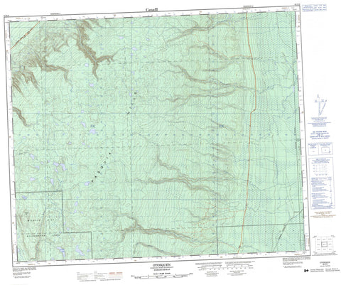
063E08 Otosquen Canada topo map, 1:50,000 scale
063E08 Otosquen NRCAN topographic map.
Includes UTM and GPS geographic coordinates (latitude and longitude). This 50k scale map is suitable for hiking, camping, and exploring, or you could frame it as a wall map.
Printed on-demand using high resolution, on heavy weight and acid free paper, or as an upgrade on a variety of synthetic materials.
Topos available on paper, Waterproof, Poly, or Tyvek. Usually shipping rolled, unless combined with other folded maps in one order.
- Product Number: NRCAN-063E08
- Parent Topo: TOPO-063E
- Map ID also known as: 063E08, 63E8, 63E08
- Unfolded Size: Approximately 26" high by 36" wide
- Weight (paper map): ca. 55 grams
- Map Type: POD NRCAN Topographic Map
- Map Scale: 1:50,000
- Geographical region: Saskatchewan, Canada
Neighboring Maps:
All neighboring Canadian topo maps are available for sale online at 1:50,000 scale.
Purchase the smaller scale map covering this area: Topo-063E
Spatial coverage:
Topo map sheet 063E08 Otosquen covers the following places:
- Firhead Lake - White Lake - Pasquia Hills - Wildcat Hill - Hudson Bay No. 394 - Northern Provincial Forest - Pasquia Provincial Forest - Pasquia River Recreation Site - Waskwei River Protected Area - Wildcat Hill Provincial Park - Wildcat Hill Provincial Protected Area - Man River - McVey Creek - Niska Creek - North Chemong Creek - Pasquia River - Rice River - Schell Creek - Stony Creek - Waskwei River - Whitepoplar Creek - Otosquen


