
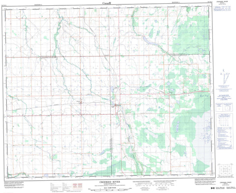
063D13 Crooked River Canada topo map, 1:50,000 scale
063D13 Crooked River NRCAN topographic map.
Includes UTM and GPS geographic coordinates (latitude and longitude). This 50k scale map is suitable for hiking, camping, and exploring, or you could frame it as a wall map.
Printed on-demand using high resolution, on heavy weight and acid free paper, or as an upgrade on a variety of synthetic materials.
Topos available on paper, Waterproof, Poly, or Tyvek. Usually shipping rolled, unless combined with other folded maps in one order.
- Product Number: NRCAN-063D13
- Parent Topo: TOPO-063D
- Map ID also known as: 063D13, 63D13
- Unfolded Size: Approximately 26" high by 36" wide
- Weight (paper map): ca. 55 grams
- Map Type: POD NRCAN Topographic Map
- Map Scale: 1:50,000
- Geographical region: Saskatchewan, Canada
Neighboring Maps:
All neighboring Canadian topo maps are available for sale online at 1:50,000 scale.
Purchase the smaller scale map covering this area: Topo-063D
Spatial coverage:
Topo map sheet 063D13 Crooked River covers the following places:
- Crooked River - Eldersley - Campbell Lake - Rat Lake - Woodhead Lake - Arborfield No. 456 - Bjorkdale No. 426 - Connaught No. 457 - Tisdale No. 427 - Northern Provincial Forest - Burntout Brook - Crooked River - Doghide River - Jordan River - Miners Creek - Presbyterian River - Trapper Creek - Clashmoor - Crane Junction - Murphys - New Osgoode - Peesane - Speddington


