
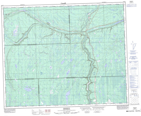
063D07 Reserve Canada topo map, 1:50,000 scale
063D07 Reserve NRCAN topographic map.
Includes UTM and GPS geographic coordinates (latitude and longitude). This 50k scale map is suitable for hiking, camping, and exploring, or you could frame it as a wall map.
Printed on-demand using high resolution, on heavy weight and acid free paper, or as an upgrade on a variety of synthetic materials.
Topos available on paper, Waterproof, Poly, or Tyvek. Usually shipping rolled, unless combined with other folded maps in one order.
- Product Number: NRCAN-063D07
- Parent Topo: TOPO-063D
- Map ID also known as: 063D07, 63D7, 63D07
- Unfolded Size: Approximately 26" high by 36" wide
- Weight (paper map): ca. 55 grams
- Map Type: POD NRCAN Topographic Map
- Map Scale: 1:50,000
- Geographical region: Saskatchewan, Canada
Neighboring Maps:
All neighboring Canadian topo maps are available for sale online at 1:50,000 scale.
Purchase the smaller scale map covering this area: Topo-063D
Spatial coverage:
Topo map sheet 063D07 Reserve covers the following places:
- Alterson Lake - Arnfield Lake - Arps Lake - Big Valley Lake - Buck Lake - Eagle Lake - Eldredge Lake - Etomami Lake - Gara Lake - Jim Lake - Mann Lake - McKinnon Lake - Ravina Lake - Roy Lake - Toboggan Lake - Hazel Dell No. 335 - Hudson Bay No. 394 - Porcupine No. 395 - Preeceville No. 334 - Piwei River Recreation Site - Porcupine Provincial Forest - Bear Creek - Big Valley Creek - Cameron Creek - Etomami River - Gara Creek - Pepaw River - Piwei River - Ravina Creek - Reserve - Tall Pines


