
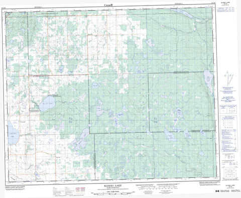
063D06 Klogei Lake Canada topo map, 1:50,000 scale
063D06 Klogei Lake NRCAN topographic map.
Includes UTM and GPS geographic coordinates (latitude and longitude). This 50k scale map is suitable for hiking, camping, and exploring, or you could frame it as a wall map.
Printed on-demand using high resolution, on heavy weight and acid free paper, or as an upgrade on a variety of synthetic materials.
Topos available on paper, Waterproof, Poly, or Tyvek. Usually shipping rolled, unless combined with other folded maps in one order.
- Product Number: NRCAN-063D06
- Parent Topo: TOPO-063D
- Map ID also known as: 063D06, 63D6, 63D06
- Unfolded Size: Approximately 26" high by 36" wide
- Weight (paper map): ca. 55 grams
- Map Type: POD NRCAN Topographic Map
- Map Scale: 1:50,000
- Geographical region: Saskatchewan, Canada
Neighboring Maps:
All neighboring Canadian topo maps are available for sale online at 1:50,000 scale.
Purchase the smaller scale map covering this area: Topo-063D
Spatial coverage:
Topo map sheet 063D06 Klogei Lake covers the following places:
- Weldon Island - Big Valley Lake - Englund Lake - Flat Lake - Greenwater Lake - Hawkins Lake - Johnston's Mill Lake - Kinloch Lake - Klogei Lake - Kotoss Lake - Liggett Lake - Lindeburgh Lake - Little Nut Lake - MacMurchy Lake - McDonald Lake - Noren Lake - Pickel Lake - Piwei Lakes - Rogal Lake - Round Lake - Taylor Lake - Victor Lake - Warner Lake - Weldon Lake - Wells Lake - Windy Lake - High Hill - Bjorkdale No. 426 - Hazel Dell No. 335 - Hudson Bay No. 394 - Kelvington No. 366 - Porcupine No. 395 - Greenwater Lake Provincial Park - Porcupine Provincial Forest - Round Lake Recreation Site - Assiniboine River - Big Valley Creek - Copeau River - High Hill Creek - Lawson Creek - Mud Creek - Piwei River - Wells Creek - Farmingdale - High Hill - High Tor - Kinloch


