
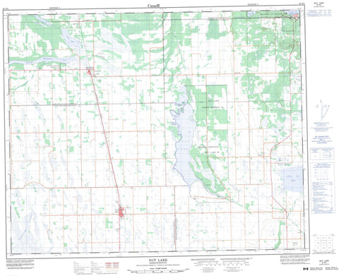
063D05 Nut Lake Canada topo map, 1:50,000 scale
063D05 Nut Lake NRCAN topographic map.
Includes UTM and GPS geographic coordinates (latitude and longitude). This 50k scale map is suitable for hiking, camping, and exploring, or you could frame it as a wall map.
Printed on-demand using high resolution, on heavy weight and acid free paper, or as an upgrade on a variety of synthetic materials.
Topos available on paper, Waterproof, Poly, or Tyvek. Usually shipping rolled, unless combined with other folded maps in one order.
- Product Number: NRCAN-063D05
- Parent Topo: TOPO-063D
- Map ID also known as: 063D05, 63D5, 63D05
- Unfolded Size: Approximately 26" high by 36" wide
- Weight (paper map): ca. 55 grams
- Map Type: POD NRCAN Topographic Map
- Map Scale: 1:50,000
- Geographical region: Saskatchewan, Canada
Neighboring Maps:
All neighboring Canadian topo maps are available for sale online at 1:50,000 scale.
Purchase the smaller scale map covering this area: Topo-063D
Spatial coverage:
Topo map sheet 063D05 Nut Lake covers the following places:
- Nut Lake Indian Reserve 90 - Réserve indienne Nut Lake 90 - Yellow Quill 90-18 - Yellow Quill 90-8 - Yellowquill 90 - Carps Lake - Cat Lake - Echo Lake - George Williams Lake - Greenwater Lake - Kinloch Lake - Lemaire Lake - Little Nut Lake - Marean Lake - Nut Lake - Ponass Lake - Ponass Lakes - Prairie Butte - Barrier Valley No. 397 - Bjorkdale No. 426 - Kelvington No. 366 - Ponass Lake No. 367 - Greenwater Lake Provincial Park - Duck Creek - High Hill Creek - Pipestone Creek - Prairie Butte Creek - Red Deer River - Rose Valley - Algrove - Greenwater Lake - Nobleville - Nora - Perigord - Périgord - Archerwill


