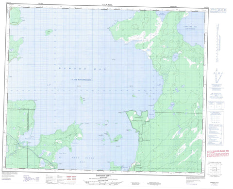
063C15 Dawson Bay Canada topo map, 1:50,000 scale
063C15 Dawson Bay NRCAN topographic map.
Includes UTM and GPS geographic coordinates (latitude and longitude). This 50k scale map is suitable for hiking, camping, and exploring, or you could frame it as a wall map.
Printed on-demand using high resolution, on heavy weight and acid free paper, or as an upgrade on a variety of synthetic materials.
Topos available on paper, Waterproof, Poly, or Tyvek. Usually shipping rolled, unless combined with other folded maps in one order.
- Product Number: NRCAN-063C15
- Parent Topo: TOPO-063C
- Map ID also known as: 063C15, 63C15
- Unfolded Size: Approximately 26" high by 36" wide
- Weight (paper map): ca. 55 grams
- Map Type: POD NRCAN Topographic Map
- Map Scale: 1:50,000
- Geographical region: Manitoba, Canada
Neighboring Maps:
All neighboring Canadian topo maps are available for sale online at 1:50,000 scale.
Purchase the smaller scale map covering this area: Topo-063C
Spatial coverage:
Topo map sheet 063C15 Dawson Bay covers the following places:
- Bell River Bay - Boss Bay - Burrell Bay - Cameron Bay - Dawson Bay - Mason Bay - Mill Bay - Point River Bay - Salt River Bay - Shoal River Bay - Smith Bay - Steeprock Bay - Bakers Point - Beardys Point - Birch Point - Boss Point - Bradley Cook Point - Grassy Point - Grave Point - Graves Point - Ice House Point - Little Denbeigh Point - Mason Point - Nason Point - Ollies Point - Salt Point - Simons Point - Smith Point - Snake Point - Steeprock Point - Steeprock Point - The Bluff - Vance Point - Whiteaves Point - Whitefish Point - Willow Point - Dawson Bay Indian Reserve 65B - Dawson Bay Indian Reserve 65F - Réserve indienne Dawson Bay 65B - Réserve indienne Dawson Bay 65F - Sapotaweyak Cree Nation - Shoal River 65A - Shoal River 65B - Shoal River 65F - Archie Island - Archies Island - Balabas Island - Blackbird Island - Bluff Island - Dog Island - Garden Island - Half Moon Island - Harbour Island - Mason Island - Rock Island - Rowan Island - Shorty Island - Shortys Island - Simon Island - Simons Island - Sugar Island - The Gobbler - Bradburys Lake - Centre Lake - East Salt Lake - German Lake - Lac Winnipegosis - Lake Winnipegosis - McLennan Lake - Sausage Lake - Swamp Lake - Toe Lake - Two Mile Lake - The Big Rock - Mountain - Steeprock River Provincial Recreation Park - Steeprock Wildlife Management Area - Swan-Pelican Provincial Forest - Swan-Pelican Wildlife Refuge - Centre Creek - German Creek - Point River - Salt River - Shoal River - Steeprock River - Swamp Creek - Angus Reef - Big Reef - Crab Reef - Little Reef - Mason Reef - Simons Reef - Vance Reef - Red Spring - Dawson Bay - Shoal River - Moose Meadows - Steeprock Marsh


