
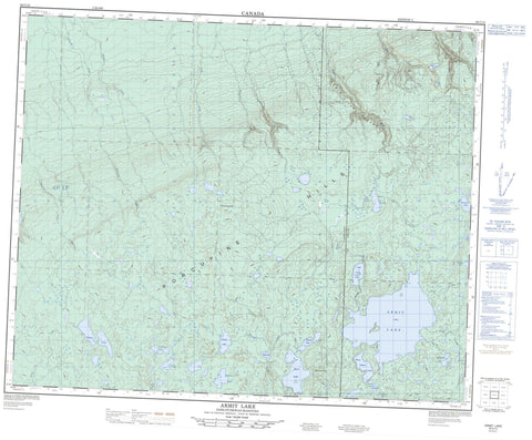
063C12 Armit Lake Canada topo map, 1:50,000 scale
063C12 Armit Lake NRCAN topographic map.
Includes UTM and GPS geographic coordinates (latitude and longitude). This 50k scale map is suitable for hiking, camping, and exploring, or you could frame it as a wall map.
Printed on-demand using high resolution, on heavy weight and acid free paper, or as an upgrade on a variety of synthetic materials.
Topos available on paper, Waterproof, Poly, or Tyvek. Usually shipping rolled, unless combined with other folded maps in one order.
- Product Number: NRCAN-063C12
- Parent Topo: TOPO-063C
- Map ID also known as: 063C12, 63C12
- Unfolded Size: Approximately 26" high by 36" wide
- Weight (paper map): ca. 55 grams
- Map Type: POD NRCAN Topographic Map
- Map Scale: 1:50,000
- Geographical region: Manitoba, Canada
Neighboring Maps:
All neighboring Canadian topo maps are available for sale online at 1:50,000 scale.
Purchase the smaller scale map covering this area: Topo-063C
Spatial coverage:
Topo map sheet 063C12 Armit Lake covers the following places:
- Jim Wright Island - Armit Lake - Armit Lake - Bachelor Lake - Camp Lake - Cat Lake - Dog Lake - Fishing Lake - Float Island Lake - Halliday Lake - Isbister Lake - Island Lake - Johnson Lake - Killian Lake - Little Armit Lake - McDonald Lake - McSherry Lake - Midnight Lake - Mirror Lake - Muskeg Lake - Quill Lake - Rutledge Lake - Spirit Lake - Brockelbank Hill - Porcupine Hills - Porcupine Hills - Spirit Mountain - Hudson Bay No. 394 - Brockelbank Hill Protected Area - Porcupine Provincial Forest - Porcupine Provincial Forest - Woody Lake Game Preserve - Woody River Recreation Site - Manitoba - Armit River - Armit River - Camp Seven Creek - Dilworth Creek - Fishing Lake Creek - Geize Creek - Island Creek - Johnson Creek - Kinakin Creek - Little Armit River - Little Woody River - Midnight Creek - Nelson Creek - North Armit River - Smoking Tent Creek - Stewart Creek - Ward Creek - Armit River Canyon


