
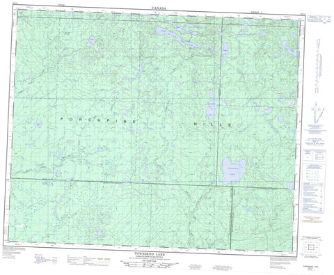
063C05 Townsend Lake Canada topo map, 1:50,000 scale
063C05 Townsend Lake NRCAN topographic map.
Includes UTM and GPS geographic coordinates (latitude and longitude). This 50k scale map is suitable for hiking, camping, and exploring, or you could frame it as a wall map.
Printed on-demand using high resolution, on heavy weight and acid free paper, or as an upgrade on a variety of synthetic materials.
Topos available on paper, Waterproof, Poly, or Tyvek. Usually shipping rolled, unless combined with other folded maps in one order.
- Product Number: NRCAN-063C05
- Parent Topo: TOPO-063C
- Map ID also known as: 063C05, 63C5, 63C05
- Unfolded Size: Approximately 26" high by 36" wide
- Weight (paper map): ca. 55 grams
- Map Type: POD NRCAN Topographic Map
- Map Scale: 1:50,000
- Geographical region: Manitoba, Canada
Neighboring Maps:
All neighboring Canadian topo maps are available for sale online at 1:50,000 scale.
Purchase the smaller scale map covering this area: Topo-063C
Spatial coverage:
Topo map sheet 063C05 Townsend Lake covers the following places:
- Hogg Point - Elbow Lake - Bow Lake - Bubble Lake - Connolly Lake - Deer Lake - Detour Lake - Eagle Branch Lake - Elbow Lake - George Lake - Grassy Lake - Grizzly Bear Lake - Little Fish Lake - Long Lake - Mallard Lake - Marder Lake - Moon Lake - Moose Lakes - North Finger Lake - North Mud Lake - North Rock Lakes - Otter Lake - Pickerel Lake - Pine Lake - Round Lake - Scottys Lake - Smallfish Lake - South Finger Lake - South Mud Lake - South Rock Lake - Spring Lake - Stanton Lake - Stark Lake - Tamarack Lake - Tennant Lake - Townsend Lake - Trickett Lake - Trout Lakes - Whitefish Lake - Woody Lake - Zapee Lake - Zapfe Lake - Bald Hills - Porcupine Hills - Porcupine Hills - Hudson Bay No. 394 - Livingston No. 331 - Swan River - Porcupine Provincial Forest - Porcupine Provincial Forest - Whitefish Lake Provincial Park - Woody Lake Game Preserve - Woody River Recreation Site - Manitoba - Binns Creek - Horace Brook - Little Fish Creek - McVey Creek - McVey Creek - Midnight Creek - Mink Creek - Mud Creek - Nelson Creek - Rock Creek - Smallfish Creek - Stewart Creek - Trout Creek - Twin Moose Creek - Whitefish Creek - Whitefish Creek - Woody River


