
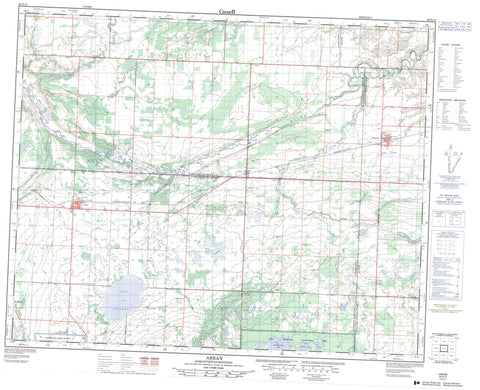
062N13 Arran Canada topo map, 1:50,000 scale
062N13 Arran NRCAN topographic map.
Includes UTM and GPS geographic coordinates (latitude and longitude). This 50k scale map is suitable for hiking, camping, and exploring, or you could frame it as a wall map.
Printed on-demand using high resolution, on heavy weight and acid free paper, or as an upgrade on a variety of synthetic materials.
Topos available on paper, Waterproof, Poly, or Tyvek. Usually shipping rolled, unless combined with other folded maps in one order.
- Product Number: NRCAN-062N13
- Parent Topo: TOPO-062N
- Map ID also known as: 062N13, 62N13
- Unfolded Size: Approximately 26" high by 36" wide
- Weight (paper map): ca. 55 grams
- Map Type: POD NRCAN Topographic Map
- Map Scale: 1:50,000
- Geographical region: Manitoba, Canada
Neighboring Maps:
All neighboring Canadian topo maps are available for sale online at 1:50,000 scale.
Purchase the smaller scale map covering this area: Topo-062N
Spatial coverage:
Topo map sheet 062N13 Arran covers the following places:
- Keeseekoose 66A - Keeseekoose 66-St-01 - Best Lake - Best Lake - Clark Lake - Dell Lake - Donald Lake - Doukhobor Lake - Harvey Lake - Ketchemonia Lake - Lac La Course - Livingston No. 331 - St. Philips No. 301 - Swan River - Duck Mountain Provincial Forest - Duck Mountain Provincial Park - Fort Livingstone National Historic Site of Canada - Fort Pelly #1 Historic Site - Fort Pelly National Historic Site of Canada - Lieu historique national du Canada du Fort-Livingstone - Lieu historique national du Canada du Fort-Pelly - Assiniboine River - Assiniboine River - Bear Head Creek - Bear Head Creek - Belleau Brook - Keillor Creek - Lobstick Creek - Maloneck Creek - Mery Creek - Prairie Creek - Prairie Creek - Spruce Creek - Swan River - Swan River - Thunderhill Creek - Thunderhill Creek - Whitebeech Creek - Whitebeech Creek - Mikhailovka Spring - Beaver Plains - Belleau Brook - Fort Pelly - Thunder Hill - Arran - Benito - Pelly


